Driving the paved Okanagan Connector to Pennask Summit in British Columbia
Pennask Summit is a high mountain pass at an elevation of 1.733m (5,685ft) above sea level, located in British Columbia, Canada's westernmost province.
Why is it called Pennask Summit?
The pass is named after the neighboring Pennask Creek.
Can you drive through Pennask Summit?
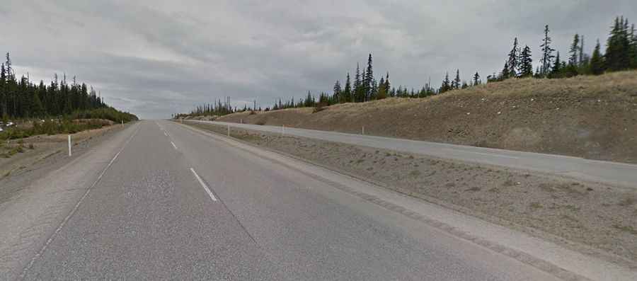
The mountainous road through the pass is entirely paved. It is called Highway 97C, more commonly known as the Okanagan Connector. This pass is the highest point of the road.
Is the road through Pennask Summit challenging?
It features long stretches of steep inclines, which are particularly challenging when traveling westward. The drive offers stunning views.
Is Pennask Summit open?
Pennask Summit is open year round. However, winter months can occasionally lead to brief closures. It is the second highest pass in British Columbia, surpassed only by the Kootenay Pass.
How long is Pennask Summit?
The pass is 81.4 km (50.57 miles) long running through the Thompson Plateau. It runs west-east from Aspen Grove to Peachland, in the Okanagan Valley on the west side of Okanagan Lake.