Coquihalla Highway is one of the worst roads in winter
Coquihalla Highway is an extreme freeway located in British Columbia, Canada's westernmost province. It’s one of the worst roads in all of North America during winters. There were 32 fatal crashes between 2004 and 2013 (according to ICBC). In spring, summer, or fall, it's a breeze, but in winter, there are at least 400-500 accidents and plenty of fatalities.
Where does the Coquihalla Highway start and end?
Part of Highway 5, the road is 193 km (119 miles) long, running north-south from Kamloops to Hope via Merritt. Hope, at the eastern end of the Fraser Valley. It’s totally paved. It was a toll road until 2008.
Why is it called Coquihalla Highway?
The road is named after Coquihalla River. The road was constructed in 1941. And the Coquihalla Highway - Phase 1, Hope to Merritt - was completed in time for Expo 86 in 1986.
Is the BC Coquihalla Highway open?
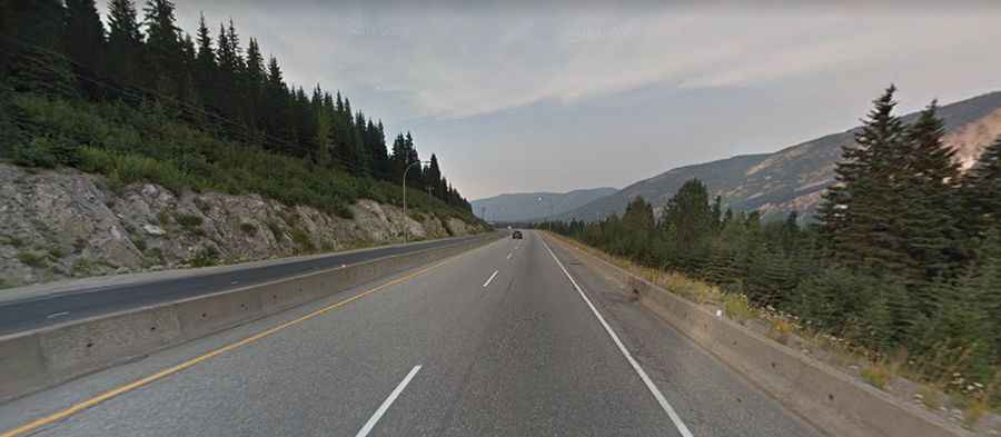
The road, colloquially "the Coq," climbs up the Coquihalla Pass, a mountain pass at an elevation of 1,249m (4,097ft) above sea level and tops out by Surrey Lake Summit, at 1,444m (4,738 ft) asl. The severe winter snow and winds threaten even the most experienced and best-equipped drivers. It is typically open all year round, with the occasional closure in winters due to dangerous weather conditions. Winter surprises are a real fear; sudden snowstorms, blowing snow, and fog often make winter driving hazardous and slow. Avalanche chutes scar the mountainsides and are a visible reminder of the steep terrain that surrounds the highway. Winter tires or chains are required on most routes in British Columbia from October 1 to April 30.
How to get ready before driving the Coquihalla Highway?
Make sure you get your vehicle and yourself well-prepared before driving this road. Smart drivers have lots of gas, carry winter clothing, a candle (for warmth), and a sleeping bag in the car 'just in case' (chances are that you will never need those extras). Careful preparation for your trip will ensure that if, and when, things do go wrong, you are prepared for the situation. Make sure your vehicle is in good shape with summer coolant and good brakes and tires.
Is Coquihalla Highway dangerous?
Tucked away in southern British Columbia, it is very steep at both ends, and although it is a modern highway, most truckers avoid traveling on it due to the extra gasoline expense that the steep inclines create. Trucks have been known to avoid the route, but most motorists don't have any hesitation about driving the route in spring-summer-fall conditions. In summer, because of the steady uphill grade of the highway, motorists must monitor their vehicles for overheating. Signs along the Coquihalla Highway frequently warn drivers to be aware of sudden changes in weather. Winter driving is indeed dangerous, but that is more a reflection of the high elevation and mountainous terrain rather than the road itself. To quote Highway from Hell's Jamie Davis, “I can’t criticize the Coquihalla. The main factor is you’re driving over a mountain. It’s not a flat road, it’s a mountainous highway... It requires skill to drive.” At high elevations, it can sometimes get to be -30 deg. C in cold winter weather. The highway, varying between four and six lanes, is pretty good; some sections have frost heaves and uneven pavement but it's 2 lanes each way, so slower traffic like trucks is not an issue. Motorists traversing the Coquihalla Highway are advised to consider undertaking defensive driving training due to the challenging terrain and potential hazards presented by weather conditions and uneven pavement.