Bow Pass is the highest road in Canada’s national parks
Bow Pass is a high mountain pass at an elevation of 2.088m (6,850ft) above sea level, located in the Canadian province of Alberta. It's one of the highest roads of the country.
When was Bow Pass in Alberta built?
Located within the Banff National Park, on the western part of Alberta, the road was completed in 1940.
Is Bow Pass in Alberta paved?
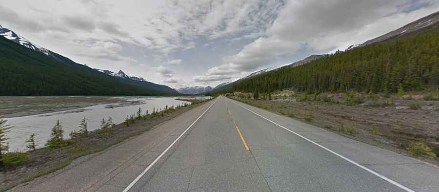
The road to the summit is totally paved. It’s called Icefields Parkway (also known as Highway 93 north), the highest road in Canada’s national parks. A minor paved road, west of the pass, climbs up to Bow Summit and Peyto Lake.
How long is Bow Pass in Alberta?
The pass is 75.8 km (47.09 miles) long, running south-north from Lake Louise to Saskatchewan River Crossing.
Is Bow Pass in Alberta open?
Set high in the Waputik Range, part of the Canadian Rockies, the pass is the highest point on the road. It is typically open all year round but snow can be expected at any time of year and extreme weather is common in winter
Is Bow Pass in Alberta worth it?
The drive is very scenic and the views cannot be captures in photos. It’s an impressive example of road engineering, producing better and better scenery as you climb higher. It does get busier at weekends and in the main holiday season. The parkway is busy in July and August with up to 100,000 vehicles a month.