Yellowhead Pass: The Lowest Crossing of the Canadian Rockies
Yellowhead Pass is a mountain pass at an elevation of 1,131m (3,711ft) above sea level, located on the provincial boundary between Alberta and British Columbia, Canada. Coordinates: 52.8897, -118.4633. Situated within Jasper National Park, it serves as a primary transport corridor through the Continental Divide.
| Road facts: Yellowhead Pass | |
|---|---|
| Elevation | 1,131m (3,711ft) |
| Road Name | Yellowhead Highway (Hwy 16) |
| Surface | Paved (Asphalt) |
| Max Gradient | 5% |
| Length | 125 km (78 miles) |
Where is Yellowhead Pass located?
The pass is situated in the Canadian Rockies, on the border between Alberta and British Columbia. Designated a National Historic Site of Canada in 1985, the summit area provides access to Portal Lake and views of Mount Robson (3,954m), the highest peak in the Canadian Rockies.
Why is it called Yellowhead Pass?
The pass is named after Pierre Bostonais, an Iroquois-Métis trapper nicknamed "Tête Jaune" (Yellow Head). In the 19th century, the Hudson's Bay Company used this route as a transport corridor for furs. Today, it remains the lowest mountain pass through the Rockies, making it a critical path for both the highway and the transcontinental railway.
Is the road to Yellowhead Pass paved?
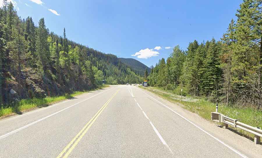
Yes. The route is part of the Yellowhead Highway (Highway 16), a major interprovincial artery. The road is fully paved and maintained to accommodate heavy commercial traffic. Unlike more technical passes like Kicking Horse, the Yellowhead features gentle slopes and wide curves through dense forests.
How long is the road through Yellowhead Pass?
The road spans 125 km (78 miles) from Jasper, Alberta, to Tête Jaune Cache, British Columbia. While gradients are moderate (rarely exceeding 5%), the route presents specific technical and environmental hazards:
- Wildlife: Elk, bears, and moose are frequently present on the road. Drivers should exercise extreme caution, especially at dawn and dusk.
- Environmental Risks: The region is prone to wildfires, which can lead to sudden road closures and reduced visibility due to smoke.
- Winter Weather: Despite its lower elevation, heavy snowfall and black ice are common from October to April.