What are the driving hazards of the road to Mount Buchanan Lookout in BC?
Mount Buchanan Lookout is a high-altitude observation point at an elevation of 1,910m (6,266ft) above sea level located in the Selkirk Mountains of British Columbia. The 10.9 km access route from BC-31A is a steep, unpaved mountain road where a 10.7% average gradient and narrow hairpins are the main hazards.
| Road facts: Mount Buchanan Lookout | |
|---|---|
| Location | Central Kootenay, BC (Canada) |
| Elevation | 1,910 m (6,266 ft) |
| Length | 10.9 km (6.77 miles) |
| Average Gradient | 10.7% |
| Surface | Unpaved / Loose gravel |
How long is the road to Mount Buchanan Lookout?
The road to the summit is 10.9 km long, starting from the paved BC-31A road. Over this distance, the track gains 1,167 meters of vertical elevation. The climb features a 10.7% average gradient, with some ramps hitting a 15%.
Is the road to Mount Buchanan Lookout unpaved?
The surface is entirely unpaved and consists of loose gravel and dirt. While categorized as a high-clearance 2WD route in dry conditions, the steepness of the 15% ramps makes traction difficult to maintain. The road is narrow with limited pull-outs for passing. Encountering oncoming traffic often requires reversing on steep, unbanked slopes with significant exposure to vertical drops. Tires are at constant risk of sidewall damage from jagged rocks on the edges of the track.
When is the best time to drive to Mount Buchanan?
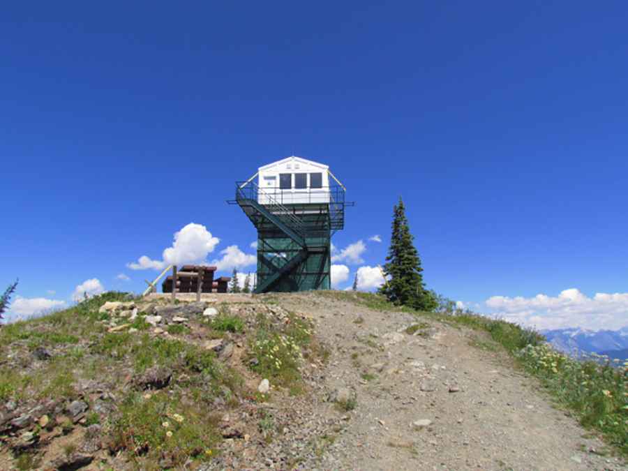
At 1,910m in the Selkirk Mountains, the road is buried under snow for much of the year. The route is typically impassable from late fall until early summer. Even during the open months, sudden storms can turn the gravel into a slick surface, reducing tire grip on the steepest hairpins. The lookout tower at the top, a 1965 concrete block structure, marks the end of the drive and offers no services, meaning you must be self-sufficient for the duration of the 10.9 km trip.
Pic: North Okanagan Outdoors