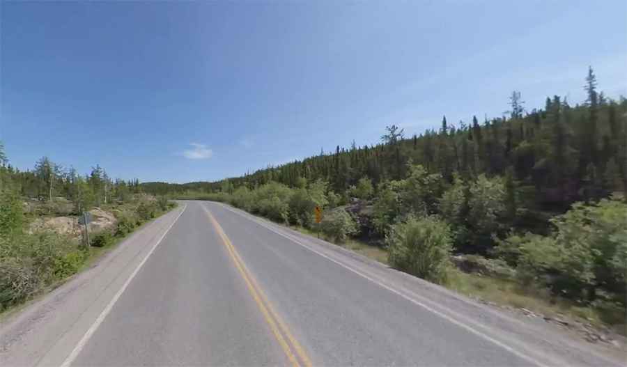
Driving the scenic Ingraham Trail in Yellowknife
Located in the Northwest Territories of Canada, the scenic Ingraham Trail is a road to adventure just out of Yellowknife, running to Tibbit Lake at the end of the trail.
How long is the Ingraham Trail?
The Ingraham Trail (Highway 4) is 69.0 km (42.87 miles) long, running from Yellowknife, on the north shore of Great Slave Lake to Tibbitt Lake. It serves as a recreational route as well as an industrial highway. In February and March each year, the Inghram trail is the first section leading to the Tibbitt to Contwoyto Winter Road to diamond mines located northeast of Yellowknife.
When was the Ingraham Trail built?
The road, running along a string of lakes and rivers all the way, was built in the mid-1960s and was originally planned as a road to the high Arctic, but it ends only after about 70km. It’s named after Vic Ingraham, a pioneer Yellowknife businessman of the 1930s–40s.
Is the Ingraham Trail worth it?
The drive is very scenic, linking together more than a dozen lakes, with lakes everywhere and scenic vistas of tundra and forests. A number of well-established day-use parks are also provided along the Ingraham Trail east of Yellowknife.
Is the Ingraham Trail paved?
The road is mostly paved. It’s around 60km (37 miles) paved, leaving the last 10 km (6 mi) after Reid Lake as gravel. It’s open year-round with short term closures in winter due to dangerous weather conditions.
Pic: Jason Simpson