Road trip guide: Conquering the Canol Road
Built in the 1940’s by an oil company, Canol Road is a true adventure through Canada’s Northwest and Yukon Territories. This road is not recommended for tourist traffic.
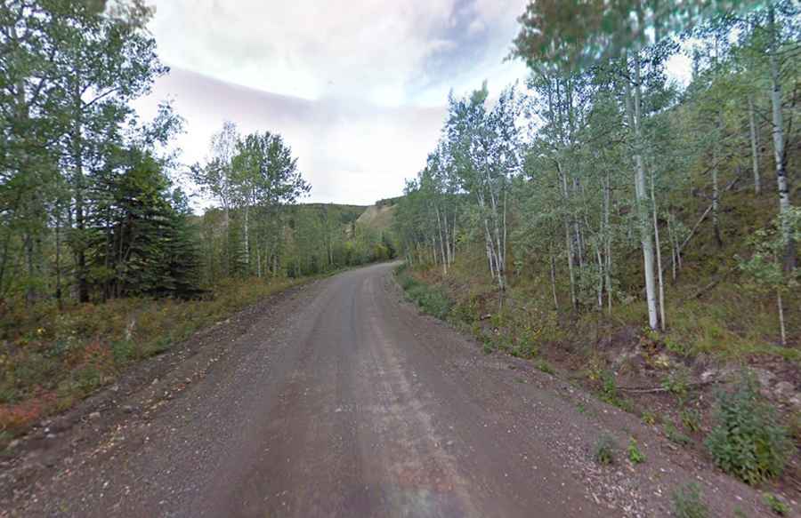
How long is the Canol Road?
The road (Canol is short form for the Canadian Oil Road) is totally unpaved. It’s 279 mi (449 km) long, running south-north from Johnsons Crossing to the Canol Heritage Trail. The road was built in the 1940’s to service the ill-fated gas pipeline through Canada’s Northwest and Yukon Territories. Currently split into 3 sections: the South Canol, the North Canol and the Canol Heritage Trail. The south sees more traffic but regardless travel is not recommended. It used to extend to Norman Wells, NWT, but is no longer maintained past the Yukon/NWT border.
Is the Canol Road open?
The road tops out at 1.387m (4,550 feet) above the sea level, by Macmillan Pass. It’s usually closed from late October through late June or early July.
How to drive the South Canol?
The road is totally unpaved. It’s 220km (137-mile) long running from Johnsons Crossing on the Alaska Highway to the Robert Campbell Highway near the town of Ross River. It’s a narrow winding road. There are some 1-lane bridges, sections of rough road, occasional road closures due to washouts, and no services. To drive the road without stopping will take most people about 4 hours.
How to drive the North Canol?
The road is totally unpaved. It’s 232km (144-mile) long and runs from the Robert Campbell Highway at the small town of Ross River to the YT–NWT border, where vehicles may turn around. The road quickly crosses the Pelly River just north of Ross River. A ferry is available for vehicles. The road has narrow parts, it’s very winding road with possible washouts, no services, and 1-lane bridges.
How to drive the Canol Heritage Trail?
Running into the NWT, the unusable road follows the abandoned part of the Canol Road. It’s about 372km (230 mile) long.
Road suggested by: Olivier Forbes-Bouillon