How to Survive and Journey through the Nanisivik Highway
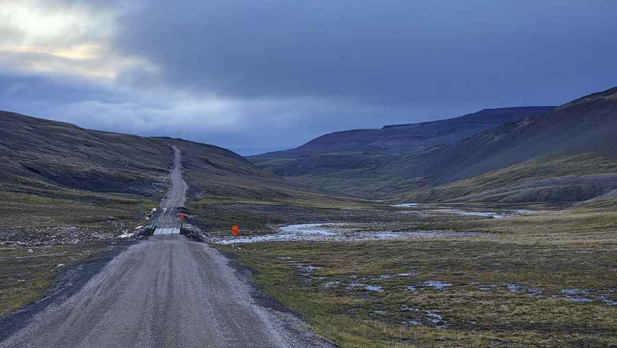
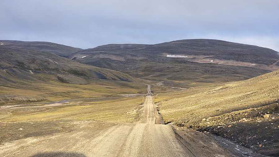
Nanisivik Highway is a very bumpy, though scenic drive located in the Canadian territory of Nunavut. It's one of the world's northernmost roads.
Where is the Nanisivik Highway?
The road is located in the northern part of the Borden Peninsula on Baffin Island in the Qikiqtaaluk Region of Nunavut, in Canada. At 73-degrees north and almost 700km north of the Arctic Circle, it is one of the northernmost roads in the world.
How long is the Nanisivik Highway?
The road is totally unpaved. It’s 35.9 km (22.30 miles) long running west-northeast from Arctic Bay (an Inuit hamlet) to Nanisivik (an abandoned company town) and the Nanisivik Airport. At the moment, it's Nunavut's longest highway and the only highway on Baffin Island.
Is the Nanisivik Highway open?
The road tops out at 527m (1,729ft) above the sea level. It’s open in summers only. The area is prone to gusty winds and poor visibility. To drive the road without stopping will take most people between 40 and 60 minutes.
Road suggested by: Olivier Forbes-Bouillon