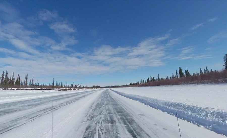
Driving the frozen Aklavik Ice Road in the Northwest Territories
Aklavik Ice Road is located in the Inuvik Region of the Northwest Territories, in Canada, over the frozen MacKenzie River and Arctic Ocean.
How long is the Aklavik Ice Road?
The road is 117 kilometres (72.70 miles) long, running across the streams of the Mackenzie Delta and Arctic Ocean. The drive offers stunning views, including the Richardson Mountains.
Where does Aklavik Ice Road start and end?
Located to the north of the Arctic Circle, the ice road runs from Aklavik to Inuvik. Average vehicles per day is 54. The road has a speed limit of 70 kilometres an hour. Drivers are reminded that speed limits on the ice road are established to ensure public safety. It has to be rebuilt each year.
Is Aklavik Ice Road open?
The road may have rough sections. Please drive with caution and obey all posted signage. The winter road season is fleeting, running late December to early April. While the road has historically opened in late December, the last years have seen the opening delayed to early January. The last 20-year average opening date is December 20 and the last 20-year average closing date is April 29. Remember it's illegal to drive on the ice road until it's officially open.