Title: What are the highest mountain passes on British Columbia highways?
Logistically, British Columbia (BC) presents some of the most challenging highway summits in North America. Navigating the mountain passes across the provincial highways requires a technical understanding of rapid elevation shifts and the rigorous safety mandates imposed by the Ministry of Transportation. With summits like Kootenay Pass exceeding 1,700 meters, drivers must prepare for extreme thermal fluctuations and sustained mechanical stress on heavy-duty transit routes.
Operating a vehicle through the high-altitude highway corridors of BC is governed by strict logistical protocols. Technically, from October 1 to April 30, winter tires or chains are mandatory on most of these routes. The steep gradients of the interior mountain ranges require advanced transmission management, particularly for commercial units and high-clearance 4x4 vehicles. On passes such as the Coquihalla (Hwy 5) or the Crowsnest (Hwy 3), atmospheric pressure changes can impact engine performance, necessitating constant monitoring of torque and cooling systems.
| Hwy # | Pass Name | Elevation | Location |
|---|---|---|---|
| 3 | Kootenay Pass | 1,782m (5,846ft) | Salmo to Creston |
| 97C | Pennask Summit | 1,733m (5,685ft) | 50 km East of Merritt |
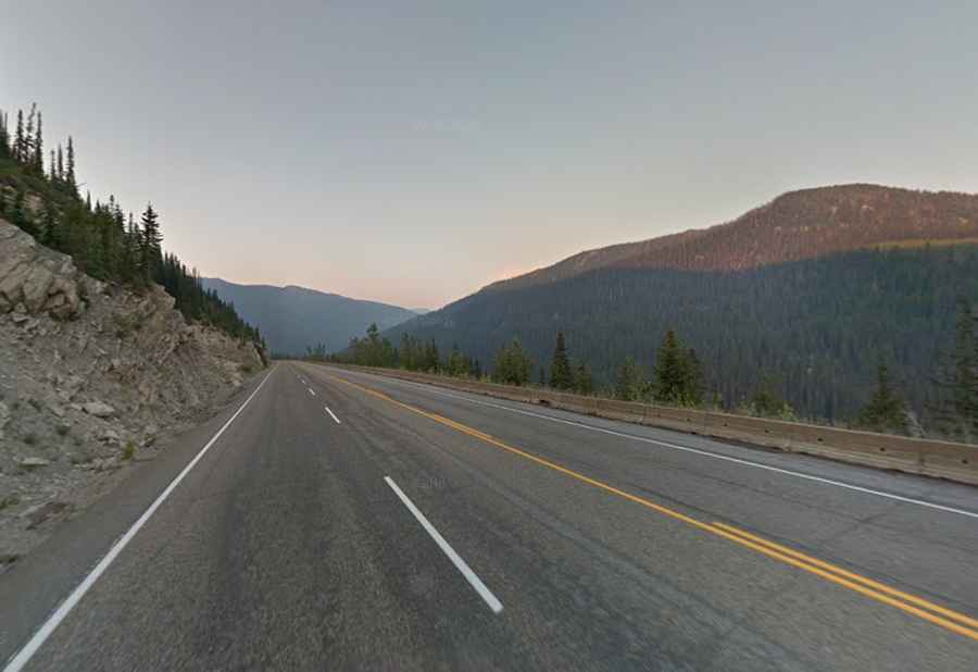
| 1 | Kicking Horse Pass | 1,683m (5,521ft) | Yoho National Park |
| 93 | Vermilion Pass | 1,647m (5,403ft) | Kootenay National Park |
| 3B | Nancy Greene Summit | 1,581m (5,187ft) | Christina Lake to Rossland |
| 3 | Blueberry-Paulson Summit | 1,517m (4,977ft) | Christina Lake to Castlegar |
| 20 | Heckman Pass | 1,524m (5,000ft) | East of Bella Coola |
| 93 | Sinclair Pass | 1,486m (4,875ft) | East of Radium Hot Springs |
| 5 | Surrey Lake Summit | 1,444m (4,738ft) | 25 km North of Merritt |
How to manage driving logistics on the highest BC highways?
Technically, the Kootenay Pass (Hwy 3) and Pennask Summit (Hwy 97C) are high-risk corridors due to their sustained elevation and potential for sudden black ice. Logistically, drivers must ensure their vehicle's braking system is rated for long, steep descents. The use of engine braking is essential to prevent thermal expansion of brake components, which can lead to brake fade. In areas like Heckman Pass, the road surface includes unpaved sections with steep switchbacks, where the logistics of transit are further complicated by the lack of cellular coverage and refueling infrastructure.
What are the winter safety requirements for British Columbia highways?
The logistics of winter transit on BC highways are strictly enforced. All vehicles crossing summits like Kicking Horse Pass or Sinclair Pass must be equipped with tires marked with the Mountain Snowflake or M+S symbol. Technically, for commercial vehicles, carrying chains is a logistical requirement regardless of current weather. Rapid weather fronts from the Pacific can cause visibility to drop to zero within minutes, necessitating specialized fog lighting and auxiliary heating systems. For routes like Surrey Lake Summit on the Coquihalla, managing speed according to variable electronic signage is mandatory to maintain safe braking distances on the 1,444m plateau.