Take the Scenic Route and Discover Nancy Greene Summit in BC
Nancy Greene Summit is a high mountain pass at an elevation of 1.581m (5,187ft) above sea level, located in British Columbia, Canada's westernmost province.
Where is Nancy Greene Summit?
The pass, formerly known as Strawberry Pass, is located in southern British Columbia, within the Nancy Greene Provincial Park.
Why is it called Nancy Greene Summit?
The pass is named after Nancy Greene Lake, to the north of the pass.
Can you drive through Nancy Greene Summit?
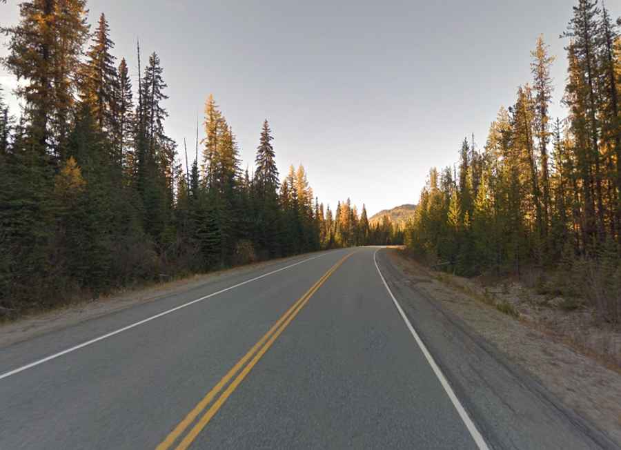
The road to the summit is fully paved. It’s called British Columbia Highway 3B. The road is 27.8 km (17.27 miles) long, running south-north from Rossland (in the West Kootenay region of south-central British Columbia), to Crowsnest Highway.
Is the road to Nancy Greene Summit steep?
The road is steep, and hits a 10.8% of maximum gradient through some of the ramps.
Is Nancy Greene Summit open?
Set high in the Monashee Mountains, the pass is typically open all year round, but winter weather may cause restrictions and closures due to dangerous weather conditions. It can be hazardous at times during the winter, especially during and after hefty amounts of snowfall. The severe winter snow and winds threaten even the most experienced and best-equipped drivers. Winter surprises are a real fear, sudden snow storms, blowing snow and fog, often make winter driving hazardous and slow. Winter tires or chains are required on most routes in British Columbia from October 1 to April 30.