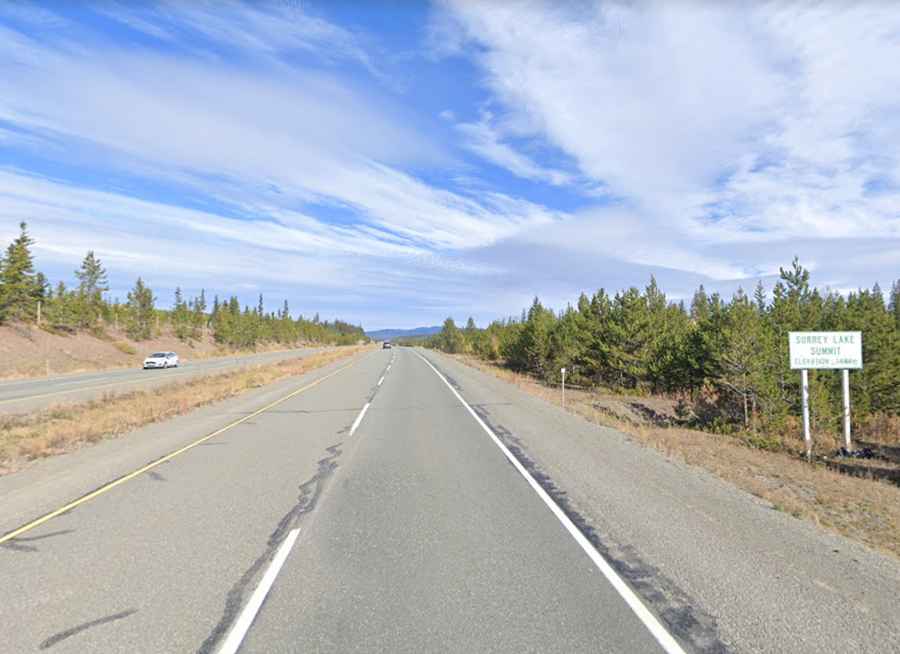
Surrey Lake Summit is the highest point on Coquihalla Highway
Surrey Lake Summit is a high mountain pass at an elevation of 1.444m (4,738 ft) above sea level, located in British Columbia, Canada's westernmost province.
Where is Surrey Lake Summit?
The pass, formerly known as Clapperton Creek Summit, is located in southern British Columbia.
Why is it called Surrey Lake Summit?
The pass is named after the nearby Surrey Lake.
Is Surrey Lake Summit paved?
The road to the summit is totally paved. It’s called British Columbia Highway 5 (Coquihalla Highway). The road is 193 km (119 miles) long, running north-south from Kamloops to Hope via Merritt. Hope, at the eastern end of the Fraser Valley.
Is Surrey Lake Summit open?
The pass is typically open all year round, but winter weather may cause restrictions and closures due to dangerous weather conditions. It can be hazardous at times during the winter, especially during and after hefty amounts of snowfall. The severe winter snow and winds threaten even the most experienced and best-equipped drivers. Winter surprises are a real fear, sudden snow storms, blowing snow and fog, often make winter driving hazardous and slow. Winter tires or chains are required on most routes in British Columbia from October 1 to April 30.