If you love to drive, you’ll love the road to Smith-Dorrien Pass
Smith-Dorrien Pass is a high mountain pass at an elevation of 1.909m (6,263ft) above the sea level, located in Kananaskis, in Alberta province of Western Canada.
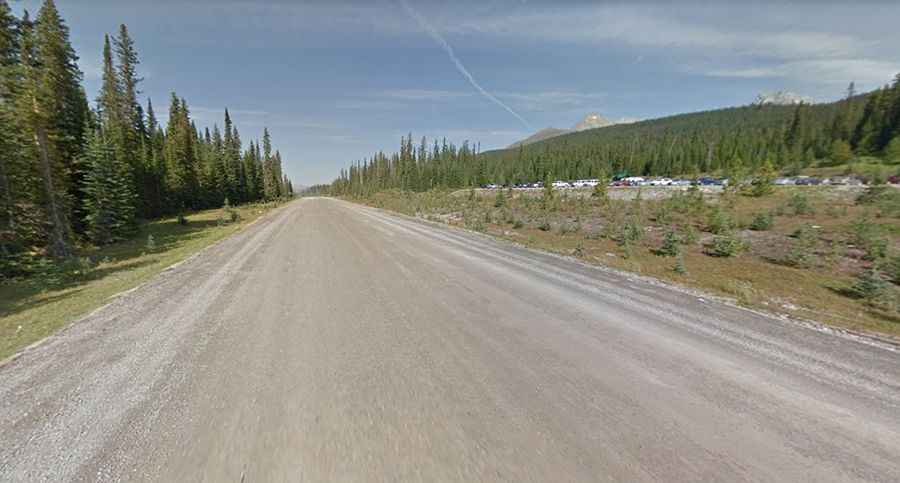
Tucked away in the Bow Valley Provincial Park, the road to the summit is called Smith Dorrien Trail (also known as Highway 742). It’s the highest point on the road. It is gravel-surfaced and rather dusty with a lot of washboards. It’s pretty easy to drive, no need for an SUV. The road is 70.2km (43.62 miles) long, running from south of Canmore (a town in west of Calgary) to Kananaskis Trail (Highway 40).
Set high in Alberta’s Rocky Mountains, be prepared for severe winter conditions. The biggest issue might be the dust from a gravel road. If you've ever driven on gravel roads before, the drive won't pose any major challenges. Give plenty of space between vehicles to avoid getting a cracked windshield. Watch out for wildlife. It’s pretty rough in sections and features a narrow, steep winding grade near Canmore. It can be dangerous in the summer because of the dust on the 80kph section. Extreme caution advised. No cell service back there.