The wild road to Col du Granon in the French Alps
Col du Granon is a high mountain pass at an elevation of 2.413m (7,916ft) above sea level, located in the Hautes-Alpes department in the Provence-Alpes-Côte d'Azur region of France.
Where is Col du Granon?
Set high in the French Alps, the pass is located on the southeastern part of the country, to the north of Briançon, the highest city in France.
Is Col du Granon paved?
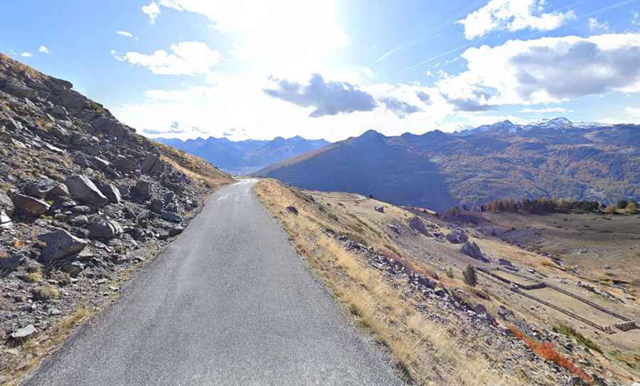
The narrow road to the summit is totally paved, but winding, curvy, and steep. It’s called D234T road. Every kilometer there is a sign with the percentage. Despite being a pass, it’s paved only on its southern side. The other side of the pass is a dirt track. If you are riding a gravel or mountain bike, it is possible to descend down to the ski resort of Val de Prés. The road is quieter than many of the other passes in the area.
How long is Col du Granon?
The road to the summit is very steep, hitting a 15.9% of maximum gradient through some of the ramps. Starting at Saint-Chaffrey, the ascent is 10.5 km (6.52 miles) long. Over this distance the elevation gain is 975 meters. The average gradient is 9.28%. The pass has been featured on the Tour de France race. It appeared in the 1986 edition of the Tour de France where it remained the highest summit finish of a stage until the Tour finished on the Col du Galibier in 2011.
Is Col du Granon worth it?
The summit hosts a bar-restaurant (Buvette Du Granon), military constructions and a big parking lot. The pass is the starting point to Col de Barteaux, Col de Cibières and Porte de Cristol.