How to drive the paved road to Rhigos Pass in Wales?
Rhigos Pass (also known as Rhigos Mountain Road) is a mountain pass at an elevation of 485 meters (1,591 ft) above sea level in South Wales, United Kingdom. Carried by the paved A4061 road, the route climbs through the Rhondda Valley over steep rock face cliffs, connecting Treherbert with Hirwaun.
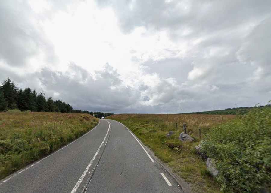
| Road facts: Rhigos Pass | |
|---|---|
| Location | Treherbert to Hirwaun, Rhondda Cynon Taf, Wales (UK) |
| Elevation | 485 m (1,591 ft) |
| Road Name | A4061 (Rhigos Mountain Road) |
| Length | 11.5 km (7.14 miles) |
| Max Gradient | 12% |
| Surface | Paved asphalt (Two lanes) |
Where is Rhigos Pass located?
The pass is located in the county borough of Rhondda Cynon Taf, in South Wales. The 11.5-kilometer A4061 road links the town of Treherbert in the Rhondda Fawr valley with Hirwaun at the edge of the Cynon Valley and Brecon Beacons.
Is the road through Rhigos Pass paved?
Yes. The A4061 is fully paved asphalt with two well-marked lanes. However, the road ascends along high sandstone cliffs, featuring tight hairpin turns, exposed drop-offs, and rockfall netting installed along the vertical cliff walls.
How long is the road through Rhigos Pass?
The road across the pass is 11.5 kilometers (7.14 miles) long, running south-north between Treherbert and the A465 junction near Hirwaun.
How steep is the road through Rhigos Pass?
The climb maintains steady gradients between 5% and 8%, with the sharpest hairpin sections reaching 12%. The sustained incline climbs out of the valley floor to the 485-meter summit plateau.
Is the road through Rhigos Pass open in winter?
The road remains open year-round, but severe winter weather frequently causes temporary closures. Exposure to Atlantic weather fronts brings heavy snow, black ice, high winds, and dense mountain fog across the summit pass.