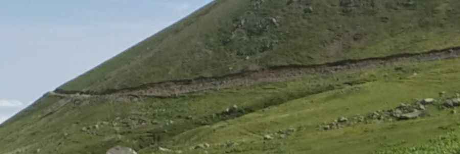
Driving the brutal unpaved road to Büyükagara Lake in Artvin
Büyükagara Lake is a high-altitude alpine lake at an elevation of 2,688 meters (8,818 ft) above sea level, located in the Artvin Province of the Black Sea region in Turkey. Tucked into the steep Kaçkar Mountains, the lake is accessed via a steep, unpaved mountain track climbing from the deep valleys of the area.
| Road facts: Büyükagara Lake | |
|---|---|
| Location | Artvin Province, Black Sea Region (Turkey) |
| Max Elevation | 2,688 m (8,818 ft) |
| Length | 21.3 km (13.2 miles) from Soğucak |
| Elevation Gain | 1,894 meters |
| Average Gradient | 8.89% |
| Surface | Unpaved (Loose rocks and scree) |
How difficult is the road to Büyükagara Lake from Soğucak?
The unpaved ascent begins in the village of Soğucak and climbs a continuous 1,894 vertical meters over a 21.3-kilometer distance. The road maintains an average gradient of 8.89%, with several internal ramps kicking up much steeper over an unstable surface of broken rocks, mountain dirt, and scree. A high-clearance 4x4 vehicle is required to maintain traction on the loose debris and to clear the protruding rock formations without damaging the underbody.
What are the main driving hazards on the Büyükagara Lake track?
The single-lane mountain path is carved into the steep mountain walls, completely lacking side guardrails or safety barriers above deep vertical drop-offs. The primary hazards include sharp volcanic rocks that can cause tire punctures and sudden, heavy rainstorms typical of the Black Sea climate that wash out the dirt track. The lane is narrow with limited passing points; meeting local shepherd trucks or forestry vehicles forces tight reversing maneuvers on a steep, low-grip surface.
Is the road to Büyükagara Lake open in winter?
Due to its 2,688-meter altitude in a heavy precipitation zone, the track is completely blocked by deep snow and ice from October until late May. The upper sections receive no winter clearance services, making the route entirely impassable. Even during the summer months, snow patches can block sections of the track until June, and sudden fog can reduce visibility along the high alpine meadows to a few meters.
Pic: Organik Yolcu