How to drive the unpaved road to Karboğazı?
Karboğazı is a high mountain peak at an elevation of 2.488m (8,162ft) above sea level, located in Turkey.
Where is Karboğazı?
The peak is located near the borders of Mersin Province, Adana Province and Niğde Province, in the southern part of the country. This pass was the scene of one of the critical fights during the Turkish War of Independence on 27–28 May 1920, called the Karboğazı ambush.
What does Karboğazı mean?
It literally means "snow pass (strait)" in Turkish.
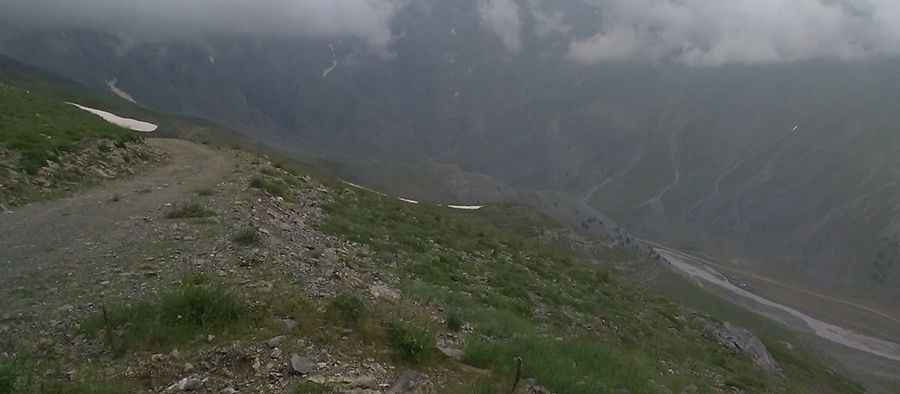
Is the road to Karboğazı unpaved?
The road to the summit is totally unpaved, with loose-gravel and rocks. It features narrow parts and dangerous drops. A 4x4 vehicle is required. Definitely don't go on weekends, as the area gets crowded.
How long is the road to Karboğazı?
Starting from the paved D750, the road to the summit is 16.9 km long. Over this distance, the elevation gain is 1152 m and the average gradient is 6.81%. In winters, the area receives heavy snowfalls.
Pic: Bilir Veteriner Kliniği