How to drive the unpaved road to Güldağı Tepe?
Güldağı Tepe is a high mountain pass at an elevation of 2,834 meters (9,297 ft) above sea level in Artvin Province, Black Sea Region, in Turkey. Situated in the Pontic Mountains near Yüksekoba, the unpaved track connects mountain valleys along steep cliff edges and loose rock ledges.
| Road facts: Güldağı Tepe | |
|---|---|
| Location | Yüksekoba, Artvin Province, Black Sea Region (Turkey) |
| Elevation | 2,834 m (9,297 ft) |
| Length | 21.6 km (13.4 miles) from Yüksekoba |
| Elevation Profile | +359 m / -1,116 m |
| Surface | Unpaved (Loose volcanic rock, dirt, and stone steps) |
| Vehicle Required | High-clearance 4x4 with low range |
Where is the road to Güldağı Tepe located?
The track is located in the Pontic Mountains of Artvin Province. The 21.6-kilometer route connects the pass with Yüksekoba, featuring an elevation profile of +359 meters gain and -1,116 meters descent across high-altitude terrain.
What are the driving conditions on the Güldağı Tepe pass?
The 21.6-kilometer route is entirely unpaved, consisting of sharp, loose volcanic stones and rock ledges. High ground clearance and a low-range 4x4 are required to crawl over large rocks without bottoming out or damaging differential casings. The narrow single-lane path lacks crash barriers along steep cliff drops.
What hazards exist on the route through Güldağı Tepe?
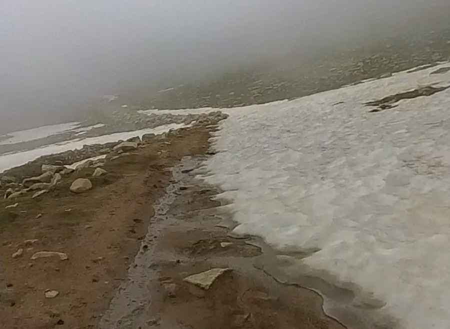
Sharp stones create high risks of tire sidewall punctures, while wet rock and residual snow patches make ramps slick. Descending over 1,100 meters puts severe strain on vehicle brakes, requiring low gear selection to engine brake. The remote area has no roadside services and limited mobile phone coverage.
Is the road to Güldağı Tepe open year-round?
No. At an elevation of 2,834 meters, heavy Black Sea snowfalls block the pass for at least six months of the year. Heavy rains and localized rockfalls frequently close the track during spring thaw and autumn storms.
Pic: pep tarres