How to drive the unpaved road to Kalkanlı Dağları in the Black Sea region
Kalkanlı Dağları is a high mountain pass at an elevation of 2,597m (8,520ft) above sea level, located in Turkey’s Black Sea region.
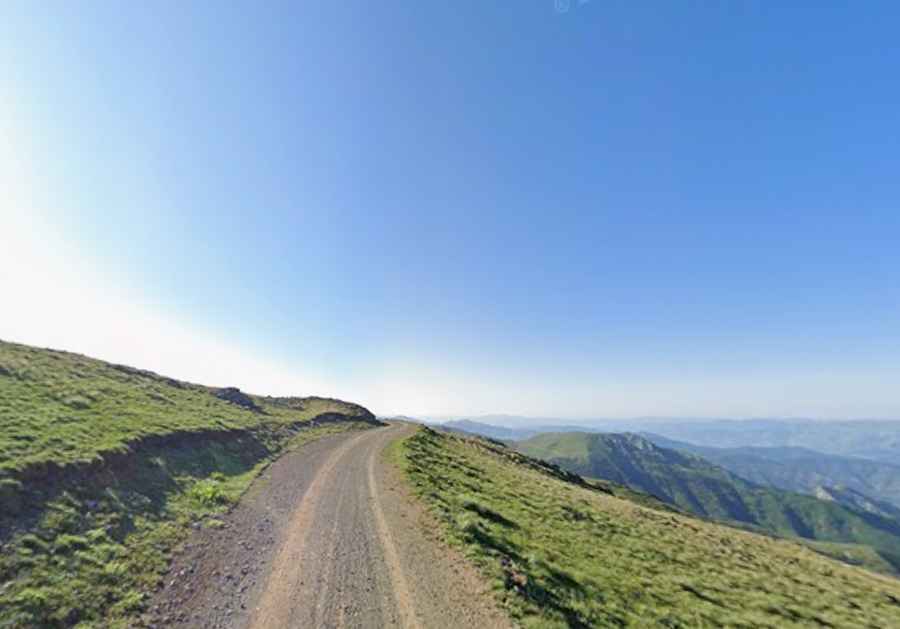
| Road facts: Kalkanlı Dağları | |
|---|---|
| Location | Trabzon-Gümüşhane border, Turkey |
| Elevation | 2,597m (8,520ft) |
| Length | 12.6 km (7.8 miles) |
| Average Gradient | 7.84% |
Where is Kalkanlı Dağları?
The pass is located on the boundary between the provinces of Trabzon and Gümüşhane.
Is the road to Kalkanlı Dağları unpaved?
The road to the summit is totally unpaved, following the spine of the mountains. It has loose gravel and sharp stones. A 4x4 vehicle is required. The track is often narrow with significant drop-offs and no safety barriers.
How long is the road to Kalkanlı Dağları?
Starting from Atalar, the road to the summit is 12.6 km long. Over this distance, the elevation gain is 1.000 m and the average gradient is 7.84%. You must be alert for local shepherds and livestock that use these tracks.
Is the road to Kalkanlı Dağları open year-round?
The road is usually buried under snow from October to June, and even in mid-summer, the meltwater creates deep washouts across the path. Sudden fog is also a typical hazard. The wind on the open ridges is fierce.