How to drive the paved road to Kosedagi Gecidi in the Black Sea region
Kosedagi Gecidi is a high mountain pass at an elevation of 1.960 m (6,430 ft) above sea level, located in Gümüşhane Province of Turkey.
Where is Kosedagi Gecidi?
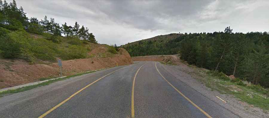
The pass is located in the Black Sea region, in the northern part of the country. The road runs through rugged, mountainous terrain, with steep valleys, high elevations, and sparse rural settlements.
Is Kosedagi Gecidi paved?
The road to the summit is fully paved yet not easy, due to its countless turns. It’s called D885. Its many twists, turns, and narrow sections can pose a challenge to even the most experienced drivers.
How long is Kosedagi Gecidi?
The road through the pass is 22 km (13.6 miles) long, running north–south from Kırıklı to Köse.
Is Kosedagi Gecidi open in winter?
Due to its high elevation in a region known for heavy winter snowfall, the pass is susceptible to temporary closures during the colder months. Although maintenance is usually performed quickly on the major road, drivers should always check local road reports, especially between late autumn and early spring, as ice and snow can make the passage dangerous. Expect significant weather changes and often low clouds or fog, demanding careful navigation.