How to drive the paved road to Yukarıkent Geçidi in Eastern Anatolia
Yukarıkent Geçidi is a high mountain pass at an elevation of 2.423m (7,949ft) above sea level, located in the Eastern Anatolia Region of Turkey.
Where is Yukarıkent Geçidi?
The pass is located on the border of Kars and Iğdır Provinces, in the northeastern part of the country.
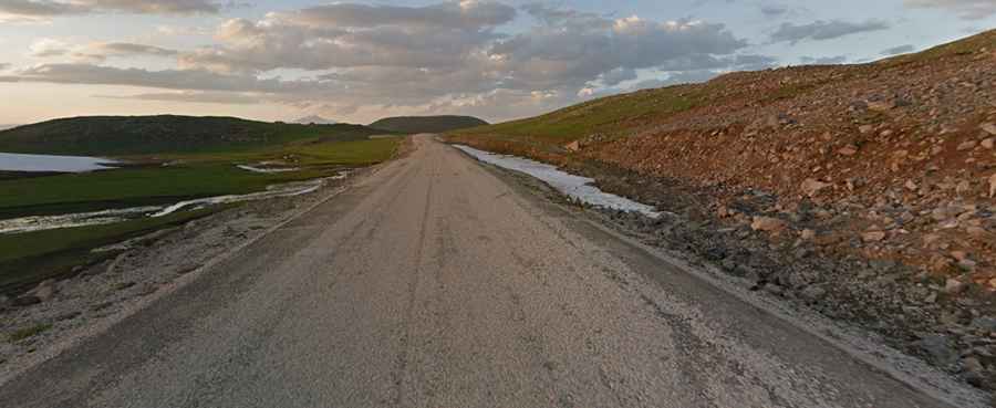
Is Yukarıkent Geçidi paved?
The road to the summit is fully paved. It’s called D965. The climb is pretty steep with some hairpin turns.
How long is the road to Yukarıkent Geçidi?
The road is 82km long, north-south from Kağızman to Ağrı, near the border with Iran.
Can I drive to Yukarıkent Geçidi in winters?
Subject to winter storms. In this sector of Eastern Anatolia, temperatures often plunge below -30°C, frequently hiding the asphalt under a layer of "black ice". The road crosses one of Turkey's coldest regions, where dangerous ice patches or heavy snow can block the route until well into spring.