How to drive the paved road to Boğatepe Geçidi?
Boğatepe Geçidi is a high mountain pass at an elevation of 2,353m (7,719ft) above sea level, located in the Eastern Anatolia region of Turkey.
| Road facts: Boğatepe Geçidi | |
|---|---|
| Location | Ardahan-Kars (Turkey) |
| Elevation | 2,353 m (7,719 ft) |
| Road Name | D060 |
| Length | 54 km |
Where is Boğatepe Geçidi?
The pass is located in the northeastern part of Turkey, on the boundary between the Ardahan and Kars provinces.
Is the road through Boğatepe Geçidi paved?
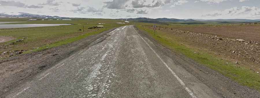
The road through the pass is fully paved, although it is not in the best condition. It's called D060 Road. The asphalt often suffers the consequences of sudden temperature swings.The route features several steep sections that require careful driving.
How long is the road through Boğatepe Geçidi?
The road through the pass is 54km long, running west-east from Göle (in Ardahan Province) to Susuz (in Kars Province).
Is the road to Boğatepe Geçidi dangerous in winter?
Subject to severe winter storms, the road runs through one of the coldest regions in Turkey. Snow can frequently block the path or leave dangerous ice patches until well into spring.