Driving the high altitude volcanic track to Ala Dağlar in Ağrı
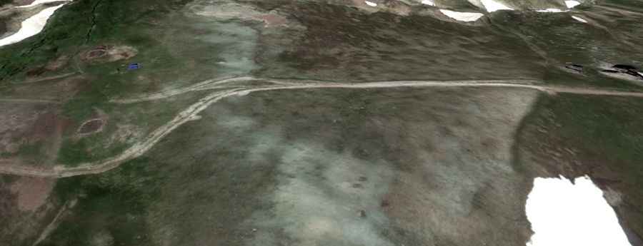
Ala Dağlar is a high-altitude gap in the Ağrı Province of eastern Turkey that reaches an elevation of 3,001 meters. This is one of the highest roads in the country, cutting through a raw volcanic landscape where the track is nothing more than a mix of loose ash and jagged basalt rocks. Driving here means pushing your vehicle through a lunar environment where the weather is unpredictable and the ground is constantly shifting. It is a slow, technical grind where any mechanical weakness will leave you stranded miles from the nearest village.
| Road facts: Ala Dağlar | |
|---|---|
| Location | Ağrı Province, Turkey |
| Elevation | 3,001m (9,845ft) |
| Length | 11.2 km (7 miles) |
| Average Gradient | 7.5% |
How difficult is the climb to the Ala Dağlar pass?
The 11.2-kilometer ascent from the Tendürek area is a brutal test of your 4x4’s suspension. With a vertical gain of 841 meters, the track maintains a constant 7.5% gradient on a surface made of loose volcanic debris. This isn't just gravel; it’s a terrain that swallows tires and robs you of momentum. This is one of the highest mountain passes of Turkey, and you absolutely need high clearance to avoid smashing your differential on the rocky steps and deep ruts carved by snowmelt. If you don't have low-range gears, you will likely cook your transmission before you even reach the halfway point.
What are the main hazards of driving at 3,000 meters in Ağrı?
At this elevation, the air is thin and your engine will feel gutless. Naturally aspirated motors can lose up to 30% of their power, making the steep ramps feel like vertical walls. The surface is the biggest danger; the volcanic ash is fine and gets into every seal, while the larger basalt stones are sharp enough to slice through a sidewall. There are no guardrails, and the track is often washed out, leaving narrow passages where the edge of the road is crumbling into the valley. If you meet nomadic transit or local trucks on these sections, reversing on the loose ground is a nightmare that requires absolute focus.
What mechanical prep is needed for the Ala Dağlar track?
Before you leave Diyadin, you need to be 100% sure of your cooling system. The combination of high altitude and the sustained 7.5% climb means your radiator will be working at its limit. Check your tire pressures; you need a larger contact patch to stay on top of the volcanic dust without digging in. On the descent, do not rely on your brakes. The sustained slopes will glaze your pads in minutes; instead, stay in a low gear and let the engine control the weight of the vehicle. This is a remote, high-altitude desert where you are on your own, so carry extra fuel, a full-sized spare, and recovery gear to manage the reality of a terrain that offers zero margin for error.