Hüdavendigar Dağı: Driving the high-altitude track of Ağrı
Hüdavendigar Dağı is a high mountain pass at an elevation of 3,111m (10,206ft) above sea level, located in the Ağrı Province of eastern Turkey. Situated near the border with Iran, the route is one of the highest mountain roads of Turkey. It is a primitive, unpaved track that crosses the volcanic ridges of the region, serving as a vital but seasonal link for high-altitude summer pastures.
| Road facts: Hüdavendigar Dağı | |
|---|---|
| Location | Ağrı Province, Turkey |
| Elevation | 3,111 m (10,206 ft) |
| Length | 16 km (Karataş to Soğan Yaylası) |
| Surface | Unpaved / Natural bedrock |
Where is the Hüdavendigar Dağı road located?
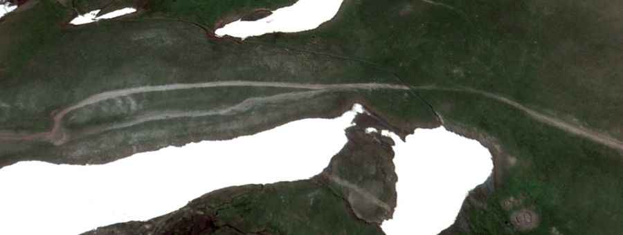
The road runs north-south, connecting the settlement of Karataş with the high pastures of Soğan Yaylası. This is one of the most remote sectors of eastern Anatolia. The track follows the high ridges of the Aladağlar range, far from any paved highways or urban centers. The physical reality of this route is defined by total isolation; there is no mobile coverage, no fuel, and no mechanical assistance available within a day's journey.
Is the road to Hüdavendigar Dağı suitable for all vehicles?
No. The 16-kilometer transit is strictly for 4x4 vehicles with high ground clearance. The road is entirely unpaved and consists of natural earth and loose volcanic rock. In several sections, the track is heavily eroded by snowmelt, creating deep ruts that can easily beach a standard car. The lane is narrow, carved directly into the mountain slopes, and features several hairpins with no safety barriers. Precise steering is required to avoid the soft edges of the track where the ground can crumble under the weight of a vehicle.
How steep is the climb to the summit?
Starting from the lower valleys, the road gains 825 meters in elevation over a short distance before descending 529 meters toward the southern plateaus. At 3,111 meters, the air is thin, significantly reducing the torque of naturally aspirated engines. The climb requires steady momentum in low gear to overcome the loose surface. On the descents, engine braking is essential to manage the vehicle's mass, as the steep ramps and loose gravel make traditional braking unpredictable and prone to overheating.
When is the road to Hüdavendigar Dağı open?
Due to its extreme altitude, the road is totally impassable for most of the year. Heavy snow blocks the pass from October until late June. Even in July, the track can be muddy and treacherous due to late-season storms. The weather at the summit is unpredictable, with sudden temperature drops and thick fog that can hide the edge of the road in minutes. It is a high-fatigue drive where the driver must be prepared for extreme mountain conditions even in mid-summer.
What are the main hazards on this Turkish mountain road?
The primary hazards are the vertical drops and the complete lack of road maintenance. The track is physically won from the rock and is subject to constant landslides and rockfall. Because it is a seasonal route for shepherds, you may encounter livestock or slow-moving agricultural machinery in the middle of the narrow lane. Any mechanical failure on this ridge is a critical situation, requiring self-sufficiency and recovery gear, as the nearest help is hours away through technical off-road terrain.