How to drive the unpaved road to Çalyan Tepe and Lake Çalyan?
Çalyan Tepe is a high mountain pass at an elevation of 2,913m (9,557ft) above sea level, located in Turkey. It’s one of the highest roads of Turkey.
| Road facts: Çalyan Tepe | |
|---|---|
| Location | Van & Şırnak Border (Southeastern Turkey) |
| Elevation | 2,913m (9,557ft) |
| Length | 29 km (18 miles) |
| Surface | Unpaved / Sharp Rocks / 4WD Only |
Where is Çalyan Tepe?
The pass is located on the border between the Van and Şırnak provinces. Near the summit there’s a mountain lake known as Çalyan Gölü.
How long is the road to Çalyan Tepe?
The road through the pass is 29 km (18 miles) long running from Topyıldız (in Van) to Yeşilöz (in Şırnak).
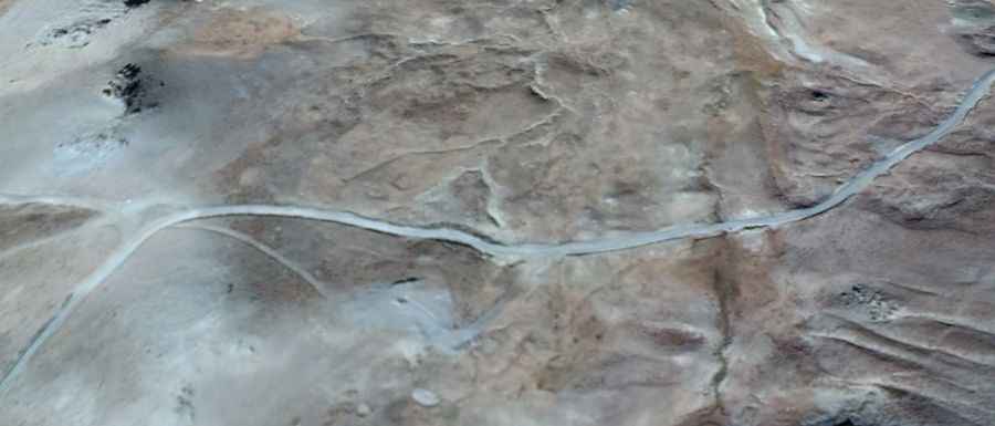
Is the road to Çalyan Tepe unpaved?
The road is entirely unpaved (a mix of loose slate and dirt). 4x4 vehicles only. It’s a challenging drive, with narrow parts and steep sections, hitting 12% gradients and tight hairpins.
Is the road to Çalyan Tepe open in winter?
Set high in the Taurus Mountains, even in the middle of summer, don't be surprised to find walls of snow blocking the highest sections. The pass is usually closed by heavy drifts from October until well into June
Can I drive my vehicle to Çalyan Tepe?
This is a remote military-heavy region; with no gas stations and no cell service. The road is raw, the checkpoints are frequent, and the terrain is unforgiving.