How to drive the paved road to Tendurek Geçidi in eastern Turkey
Tendurek Geçidi is a high mountain pass at an elevation of 2.602m (8,536ft) above sea level, located in Turkey. It’s one of the highest paved roads of the country.
Where is Tendurek Geçidi?
The pass is located in the eastern part of the country, on the boundary between Ağrı and Van provinces. The road through the pass runs parallel to and within a few miles of the Iranian border with several military outposts on the summit of hills closest to Iran.
Is the road to Tendurek Geçidi paved?
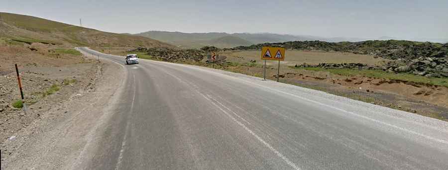
The road to the summit is fully paved. It’s called D975, part of the European route E99. It has very steep parts, with sections up to 8%. It’s heavily used by trucks.
How long is the road to Tendurek Geçidi?
The pass is 57km long, running from Doğubayazıt (a town in Ağrı Province) to Çaldıran (a municipality and district of Van Province).
Is the road to Tendurek Geçidi dangerous in winters?
One of the main hazards of the drive is the extreme weather of the area. Due to the high elevation and exposure, the road is subject to strong winds and rapid weather changes. Be prepared for the cold and wind. Adverse weather conditions can prompt closure of the road. It can often be treacherous, with ice and snow accumulating, so exercise caution as you make your way.