Driving the frightening road to Tahir Pass in Turkey's Tahir Mountains
Tahir Pass is a high mountain pass at an elevation of 2.496m (8,188ft) above sea level, located in Ağrı Province, in Eastern Turkey.
What’s the origin of Tahir Geçidi?
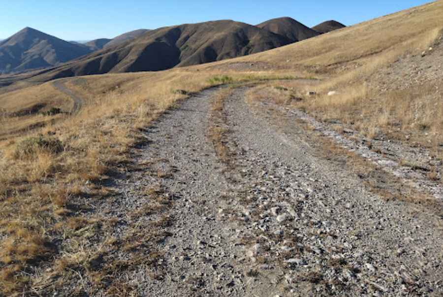
Set high in the Turkey’s Tahir mountains, the road to the summit is totally unpaved. It was a military road on the Old Silk Road, between Erzurum and Agri and heavily used by trucks in the 1970s.
How long is the road to Tahir Pass?
The pass is 25.2 km (15.65 miles) long running from Aydıntepe to Güneykaya. It’s very steep and narrow.
Is the road to Tahir Pass open in winters?
The road is usually impassable four months of the year due to the snow. On the steep, ice-sheeted roads, trucks slide even when stationary and when it is too dangerous to brake, the only way to slow down is to run from drift to drift. It is frightening and deserted. The road is perilous and involves a treacherous spell across the mountains.
Why is the road less travelled now?
During winter time the road was a nightmare for the truck drivers on the way to Iran and a few years ago, the most dangerous section of the drive was bypassed by a paved modern highway called E80-D100.
Pic: GUNTER LUYCKX