Mount Artos: The brutal 3,225m volcanic climb in Van
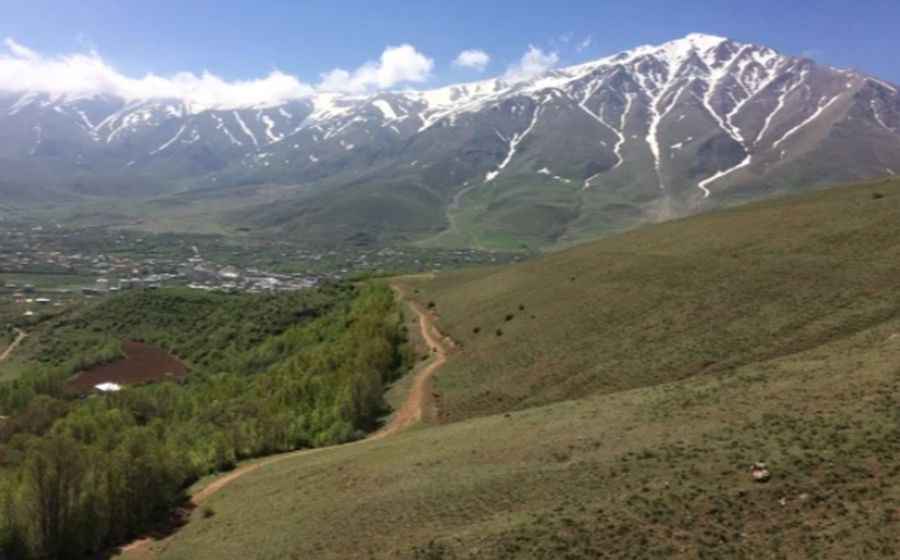
Mount Artos, also known as Çadır Dağı, is a dormant volcano reaching an elevation of 3,225 meters (10,580 ft) above sea level in the Van Province of eastern Turkey. The raw, unpaved track climbing to the summit is one of the highest mountain roads of Turkey.
| Road facts: Mount Artos (Çadır Dağı) | |
|---|---|
| Location | Van Province, Eastern Turkey |
| Elevation | 3,225 m (10,580 ft) |
| Length | 17.29 km (10.74 miles) from Gevaş |
| Elevation Gain | 1,530 meters |
| Average Gradient | 8.84% |
| Surface | Unpaved / Volcanic Scree & Rock |
What is the route profile from Gevaş to Mount Artos?
The unpaved mountain track is 17.29 km (10.74 miles) long, originating in the town of Gevaş near the southern shore of Lake Van. The alignment climbs 1,530 vertical meters up the northern slopes of the volcano to the peak at 3,225 meters. The road maintains an average gradient of 8.84%, though the upper switchbacks feature steep ramps that exceed 15% over loose volcanic terrain.
What is the road surface of the Mount Artos track?
The entire 17.29-kilometer climb is unpaved, consisting of a single-lane path made of loose volcanic scree, crushed basalt, and ore-rich rocks. The road lacks safety guardrails, concrete walls, or passing turnouts. The track is narrow, forcing wheels close to the soft dirt shoulders where the mountain drops off down the volcanic ridges.
When is the road to Mount Artos closed by snow?
At 3,225 meters altitude, heavy winter snowfall blocks the route for most of the year, restricting vehicle transit to the months between June and October. Deep snowdrifts remain on the upper curves into early summer, blocking the final kilometers. Rainstorms quickly turn the fine volcanic dust layer into a slick mud slurry that causes tires to spin and slip on the steep inclines.
What are the mechanical requirements for driving Mount Artos?
Vehicles require four-wheel drive with low-range gearing and high undercarriage clearance to climb over the loose stone ramps without grounding the chassis. The thin air above 3,000 meters drops engine power output due to lower oxygen levels. The 17.29-kilometer descent demands continuous low-gear engine braking to prevent brake pads from overheating and smoking. There are no repair shops, fuel pumps, or shelter structures past the starting point in Gevaş.
Pic: Cihad Salim