Karagöl Gölü: A High-Altitude 4x4 Road to the Bolkar Mountains
Karagöl Gölü is a stunning glacial lake situated at an elevation of 2,661m (8,730ft) above sea level in the Niğde Province of Turkey. Tucked away in the rugged Bolkar Mountains (part of the Central Taurus range), the journey to this lake is a legendary test for 4x4 enthusiasts.
Where Is Karagöl Gölü?
The lake is located near the border between Niğde and Mersin provinces. This alpine sanctuary is world-renowned among biologists as the only habitat for the Rana holtzi (Taurus Frog), an endemic species that doesn't croak. The surrounding peaks remain snow-capped well into the summer, offering a dramatic contrast with the crystal-clear waters.
How Long Is the Road to Karagöl Gölü?
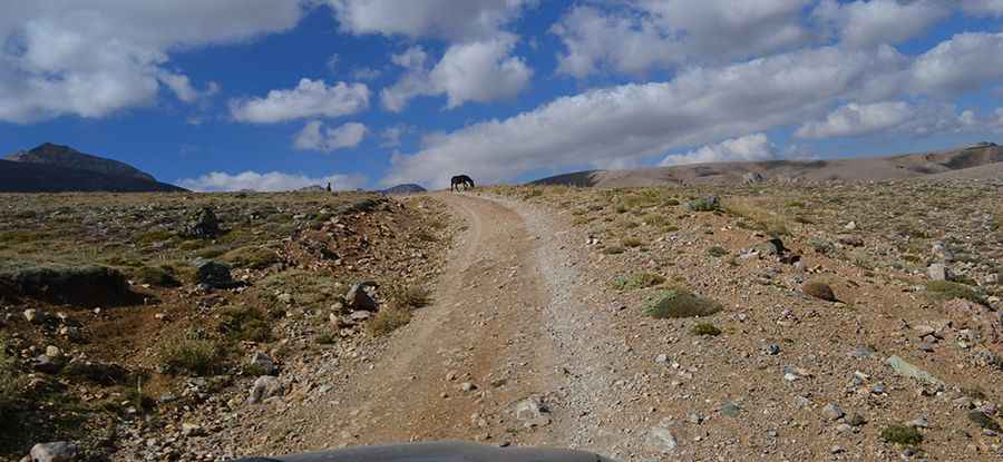
The expedition begins near the village of Darboğaz, branching off from the D750 paved road.
- Distance: The climb covers 23 km (14 miles) of grueling terrain.
- Elevation Gain: You will climb 1,435 meters from the valley floor.
- Average Gradient: The incline is 6.23%, but this figure is deceptive as it includes several flat plateaus followed by extremely steep, loose-gravel ramps.
Is the Road to Karagöl Gölü Dangerous?
This is a high-risk mountain track that requires a 4x4 vehicle with high clearance and a focused driver.
- Surface: The road is entirely unpaved and poorly constructed. It features sharp hairpins where the turning radius is so tight that larger vehicles may need to perform multi-point turns.
- Exposure: There are no safety barriers. The track is narrow, and the vertical drops into the Taurus valleys are dizzying.
- Weather Hazards: Even in summer, thick fog can roll in from the Mediterranean, reducing visibility to near zero. The road is typically impassable from October to June due to heavy snow.
Pic: mehmet ziya seydioglu