Mount Ararat: this road is not for timid drivers
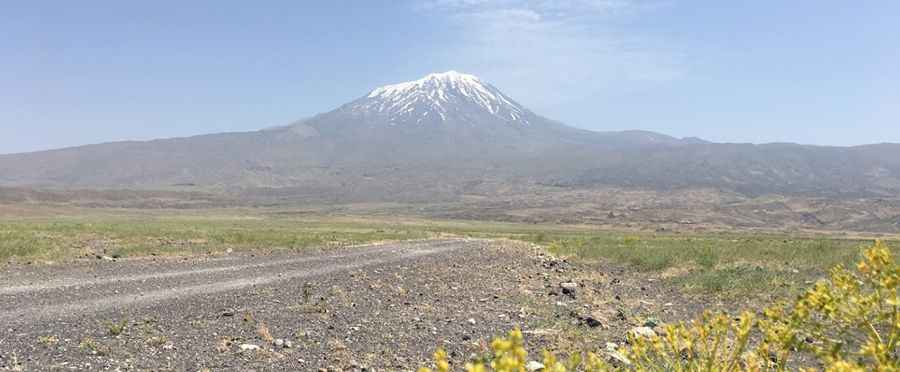
Ağrı Dağı is a dormant volcano located in Ağrı Province of Turkey. A mountain road near the summit ends at 3.297m (10,816ft) above sea level. It’s one of the highest roads of the country.
Where is Mount Ararat?
The volcano is located in the Eastern Anatolia Region, in the extreme east of Turkey, near the Armenian and Iranian borders. It’s the highest peak in the country. In Turkish, Mount Ararat is known as "Ağrı Dağı," which means "Mountain of Ağrı."
Why is Mount Ararat famous?
The mountain is famous in the Bible as the final resting-place of Noah’s Ark. And the mountain holds symbolic importance for Armenians, and it is a national symbol of Armenia, despite being located in Turkey.
How long is the road to Mount Ararat?
The road is entirely unpaved. 4x4 vehicle required. It’s 17.4 km (10.81 miles) long running from Gölyüzü to Mount Ararat Base Camp. Over this distance the elevation gain is 1.803 meters. The average gradient is 10.36%.
Is the road to Mount Ararat open?
The is covered with permanent snow and ice, including several glaciers. Accessibility is largely limited to the summer season. Access to the peak requires a special permit from the Turkish government due to its location in a sensitive border area. Extreme care with smugglers and other outlaws, Kurdish terrorists, severe weather and wild beasts.
Pic: ihsan kılıçarslan