A paved road to Kizildag Pass on Eastern Turkey
Kızıldağ Geçidi is a high mountain pass at an elevation of 2.167m (7,109ft) above sea level, located on the boundary between Sivas and Erzincan provinces of Turkey.
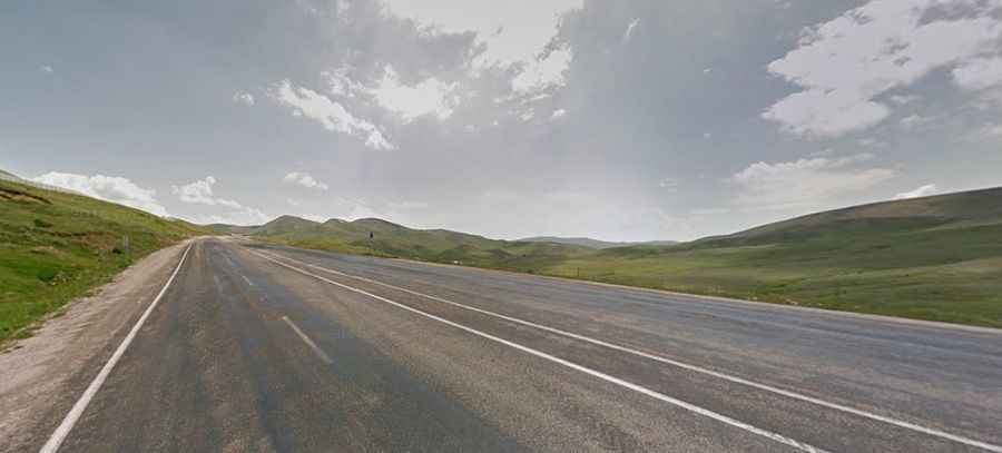
Is Kizildag Pass paved?
Set high in the eastern part of the country, the road to the summit is totally paved. It’s called D.200 (or E88) and connects East Anatolia to Central Anatolia. It is the highest point of the road. Access to the pass is typically open all year round but short term closures are common in winter due to dangerous weather conditions.
How long is Kızıldağ Geçidi?
The road to the summit is very steep, hitting a 9% of maximum gradient through some of the ramps. The pass is 97.2 km (60.3 miles) long running west-east from Zara (in Zara district of Sivas Province) to Altköy (in the Refahiye District of Erzincan Province).