Guzelyayla Gecidi: The Ultimate Road Trip Guide
Güzelyayla Geçidi is a high mountain pass at an elevation of 2.137m (7,011ft) above sea level located in the Erzurum Province of Turkey.
Where is Guzelyayla Gecidi?
The pass is located in the Eastern Anatolia region, in the northeastern part of the country.
Is Guzelyayla Gecidi paved?
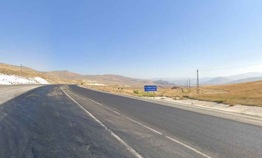
The road to the summit is totally paved, wide and in good conditions. It’s called D950 State Road. Access to the pass is typically open all year round. The summit hosts a big parking lot and souvenir shops.
How long is Guzelyayla Gecidi?
The pass is 20.2km (12.5 miles) long running north-south from Tortum to Karagöbek. The road to the summit is very steep, hitting a 9% of maximum gradient through some of the ramps.