The road to Golyurt Gecidi is a chillout in high mountains
Gölyurt Geçidi is a high mountain pass at an elevation of 2.387m (7,831ft) above sea level, located in the İspir District of Erzurum Province, Turkey.
Where is Gölyurt Geçidi?
The pass is situated in the Eastern Anatolia region, in the northeastern part of the country. North of the pass, a minor gravel road climbs up to Kavakdağı Tepesi, a high mountain peak at 2.428m (7,965ft) above sea level.
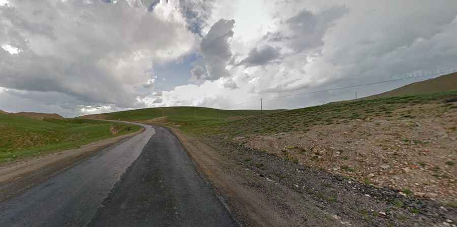
Is Gölyurt Geçidi paved?
The road to the summit is entirely paved but in pretty bad condition. It’s called D925.
How long is Gölyurt Geçidi?
The pass stretches for 38.6 km (23.98 miles), running from Kirazlı to Zeyrek.
Is Gölyurt Geçidi challenging?
The road to the summit is very steep, with some ramps reaching an 11% maximum gradient. When snow falls, which occurs in the winter, conditions become tough and slippery.