The Ultimate Guide to Traveling Through Cukuryurt Gecidi
Çukuryurt Geçidi is a high mountain pass at an elevation of 1.931m (6,335ft) above sea level located in the West Anatolia region of Turkey.
Where is Çukuryurt Geçidi?
The pass is located in Konya Province, in the southern part of the country.
Is Çukuryurt Geçidi paved?
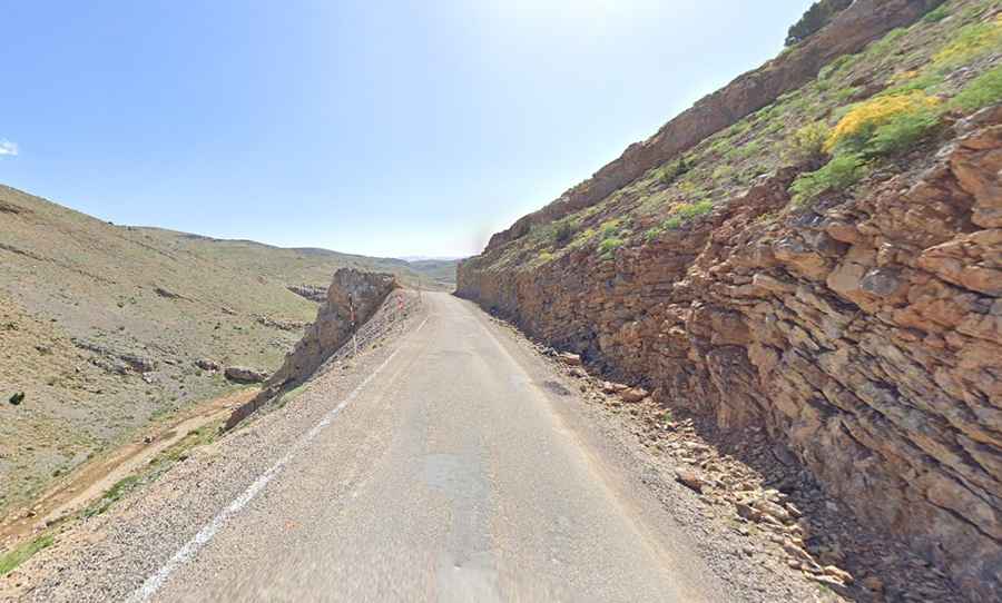
The road to the summit was totally paved, but due to the inclement weather, it is in very poor condition, with loose gravel in some parts. It’s called Taşkent Yolu.
How long is Çukuryurt Geçidi?
The pass is 12.7 km (7.89 miles) long, running west-east from Çamiçi to Kizilçayiryaylalari. If you've got your own vehicle, it's worth stopping for the views.
How challenging is the road through Çukuryurt Geçidi?
The drive is extremely challenging. It has narrow parts with dangerous drops and very steep sections, hitting an 11% maximum gradient through some of the ramps. This road offers jaw-dropping views, unparalleled freedom, and lots of fresh air. The pass is typically open all year round, but short-term closures are common in winter due to dangerous weather conditions.