Road trip guide: Conquering Karasar Gecidi in Sivas
Karasar Geçidi is a high mountain pass at an elevation of 1,939m (6,361ft) above sea level, located in Sivas Province, Turkey.
Where is Karasar Geçidi?
The pass is located in the eastern part of the Central Anatolia region, in the central part of the country.
Is Karasar Geçidi paved?
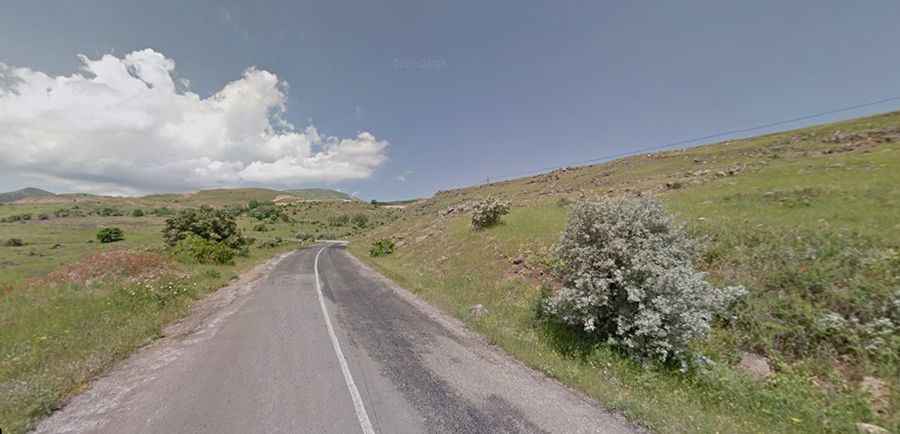
The road to the summit is totally paved but in very bad conditions. It’s called D260 road.
How long is Karasar Geçidi?
The pass is 27.6km (17.14 miles) long, running west-east from Yalnızsöğüt to Güneyevler.
How challenging is Karasar Geçidi?
The road is very steep, hitting an 11% maximum gradient through some of the ramps. Always check the weather forecast before you start your journey as adverse conditions are common.