Can you drive the 24 hairpin turns to Sarıç Dağı in Gümüşhane?
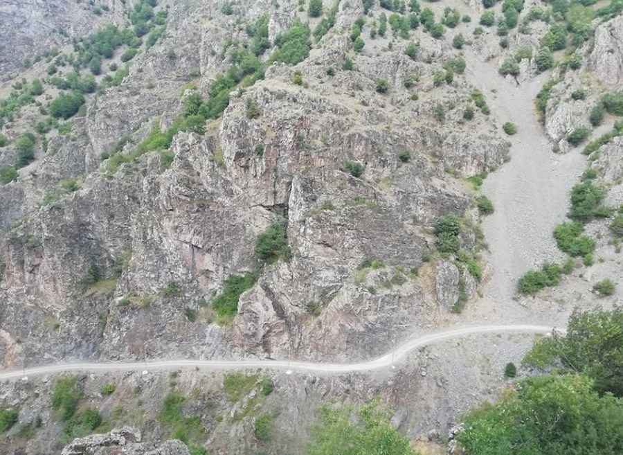
Sarıç Dağı is a high mountain peak at an elevation of 2,100m (6,889ft) above sea level, located in the Gümüşhane Province of Turkey. The 8.6 km ascent is a primitive unpaved road cut into the cliffside, featuring 24 sharp hairpin turns and vertical drops of over 300 meters.
| Road facts: Sarıç Dağı (Gümüşhane) | |
|---|---|
| Location | Gümüşhane, Turkey |
| Elevation | 2,100 m (6,889 ft) |
| Length | 8.6 km (5.3 miles) |
| Average Gradient | 11.02% |
| Surface | Unpaved / Dirt |
How long is the road to Sarıç Dağı?
The road starts in the village of Aşağıkaradere and runs for 8.6 km until it reaches a small group of houses near the summit. In this distance, the track gains 948 meters of vertical elevation. The average gradient is 11.02%.
Is the road to Sarıç Dağı unpaved?
The surface is entirely dirt and loose stone. There are 24 hairpin turns, many of them so tight that long vehicles may need to shunt to get around. The track is narrow, often with barely enough space for one car, and there are no guardrails or walls to stop a slide. In several sections, the edge of the road is a direct drop of 300 meters. The ground is unstable and ruts from old rainfalls can catch the underbody of the car.
What is it like to drive the 24 hairpins of Sarıç Dağı?
Driving here means keeping the wheels away from the crumbling edges. If you meet another vehicle, one driver will have to reverse to a wider spot, often on the brink of the precipice. High-clearance is necessary to deal with the stones and deep tracks left by local 4x4s.
Is the road to Sarıç Dağı open in winter?
Snow blocks the road from late autumn until the spring melt. At 2,100 meters, the drifts make the 24 hairpins impassable. When it rains, the dirt turns into slippery mud, making it almost impossible to maintain traction on the steep corners. There is no help, no fuel, and no workshops on this mountain; you are on your own for the entire 8.6 km trip.
Pic: Hamit yılmaz