How to drive the unpaved road to the TRT Vericisi İstasyonu at Sarıçınar Dağı?
Sarıçınar Dağı is a high mountain peak at an elevation of 1.788m (5,866ft) above sea level, located in Antalya Province, in Turkey.
Why is there a road to Sarıçınar Dağı?
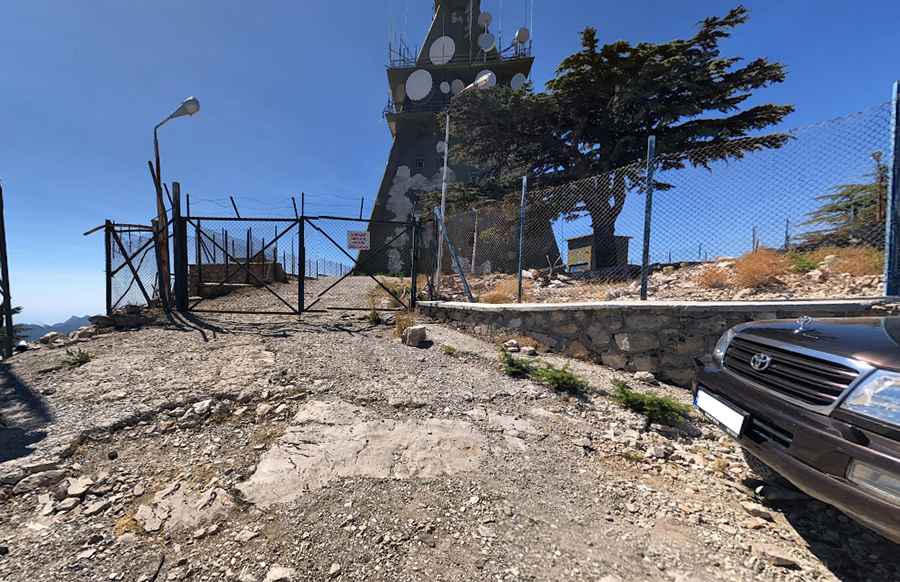
At the summit there’s a communication tower known as TRT Verici İstasyonu. Remember the mountain top is a private property and entry is prohibited. The summit provides great views of the sea and the Turkey's southern Mediterranean region.
Is the road to Sarıçınar Dağı unpaved?
The road to the summit is totally unpaved. Dotted with ancient, original trees, the road is very rough, requiring at least 40-45 minutes of drive. It's not impossible to drive the road, but there are collapses and rocky sections in places, so drive carefully. Not suitable for low-clearance vehicles. It's possible to drive all the way to the end, but it's not recommended.
How long is the road to Sarıçınar Dağı?
The road to the summit is very steep. Starting from Hisarçandır, a neighbourhood of the municipality and district of Konyaaltı, the ascent is 12 km long. Over this distance the elevation gain is 817 meters. The average gradient is 6.80%.
Is the road to Sarıçınar Dağı open year-round?
Set high in the Taurus Mountains, the road is usually open year-round, but closures in winters are common due to heavy snowfalls in the area.
Pic: Figen Gökçek