How to drive the unpaved road to Ayşe Nur Dağı in Van?
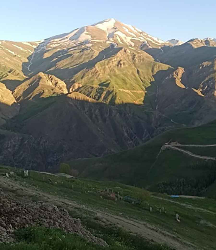
Ayşe Nur Dağı is a high mountain pass at an elevation of 2,927 meters (9,603 ft) above sea level, located in the Van Province of Turkey. It is one of the highest roads of Turkey.
Where is Ayşe Nur Dağı?
The pass is located in the eastern part of the country, near the Iranian border. This is a high-altitude military and border zone. There are no services, shops, or gas stations along the road and cell phone coverage is non-existent.
Is the road to Ayşe Nur Dağı unpaved?
The road is entirely unpaved and consists of hard-packed dirt, loose shale, and large stones. In several sections, the track narrows into a single-lane ledge with unprotected drops and no safety barriers. After rain, the dirt sections turn into slick mud traps that make steering difficult on the steep inclines.
Can I drive my vehicle to Ayşe Nur Dağı?
A high-clearance 4x4 vehicle is required.Because of the steepness and the poor state of the road, average speeds are very low.
How long is the road to Ayşe Nur Dağı?
The road is 15 kilometers (9.32 miles) long, running from the village of Sözveren to the summit. It’s a very steep drive, with an elevation gain of 1172m and a 10.75% of average gradient
Is the road to Ayşe Nur Dağı open in winter?
The pass is buried under deep snow for most of the year and is only accessible during the mid-summer months. Even in July, sudden storms can make the track impassable due to mud or leftover snow patches.
Pic: Mehmet Cebe