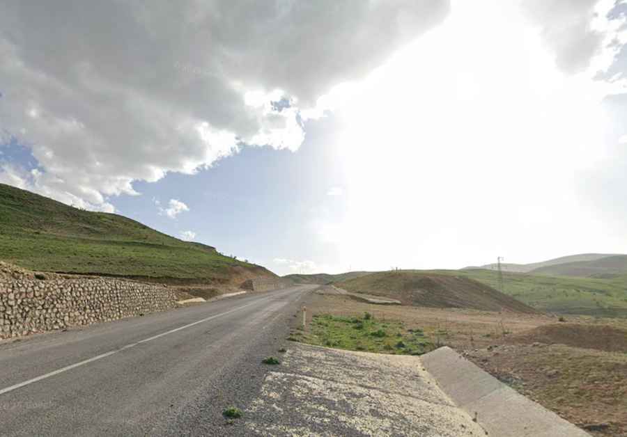
Driving the paved road to Kovalik Geçidi in Erzincan
Kovalik Geçidi is a high mountain pass reaching an elevation of 2,004 meters (6,574 ft) above sea level in the Erzincan Province of northeastern Turkey. While the road through the pass has been fully paved since 2017, do not let the fresh asphalt fool you; this is a high-altitude climb through the rugged Anatolian landscape where the weather and the steep gradients demand respect. Serving as a vital link in the region, Kovalik is the civilized prelude to the much more aggressive and unpaved Sipikör Geçidi, where the pavement ends and the real technical driving begins.
| Road facts: Kovalik Geçidi | |
|---|---|
| Location | Erzincan Province, Turkey |
| Elevation | 2,004m (6,574ft) |
| Length | 22 km (13.6 miles) |
| Surface | Fully paved (since 2017) |
How difficult is the road to Kovalik Geçidi?
The 22-kilometer stretch between Turnaçayırı and Yeşilyaka is a sustained exercise in gear management. The road is well-paved, but the incline is constant as you climb toward the 2,004-meter summit. For those driving furgonetas or vehicles carrying heavy loads, the thin mountain air means a noticeable loss of engine torque. You will need to maintain a disciplined pace; the curves are designed for modern traffic, but the exposure to high-altitude winds can make the steering feel light and unpredictable. It is a high-frequency transit point where the main challenge is managing your speed on the long, sweeping descents without cooking your brakes.
Is the road to Kovalik Geçidi unpaved?
No, the road is fully paved and has been since 2017. However, "paved" in the mountains of Erzincan does not mean "hazard-free." The surface is subject to extreme thermal shifts, which can create frost heaves and unexpected potholes. During the winter months, the asphalt is often covered in black ice, making the steep ramps extremely dangerous even for vehicles with good tires. The pavement makes the 22-kilometer journey faster, but the physical reality of the 2,000-meter altitude remains a factor that every driver must account for.
How long is the road to Kovalik Geçidi?
The drive through the pass covers 22 kilometers (13.6 miles), running west to east. Over this distance, the road traverses a high plateau environment where the lack of vegetation makes the wind a constant companion. The climb is steep enough to force your transmission to work hard, and the descent requires steady engine braking to avoid brake fade. It is a concentrated burst of high-mountain driving that acts as a gateway between the more developed valleys and the wild ridges of the Erzincan-Gümüşhane border.
What mechanical prep is needed for the Kovalik crossing?
Before leaving Turnaçayırı, verify that your radiator and cooling system are in top condition. Even on a paved surface, a sustained climb to 2,000 meters is a torture test for a loaded motor. Check your tire pressures; high-altitude driving requires perfect contact with the asphalt, especially in the winding sections. On the descent toward Yeşilyaka, do not rely solely on your brakes. Stay in a lower gear to let engine braking maintain your speed, keeping your pads fresh for any sudden stops. Carry extra water and warm clothing, as a mechanical failure at 2,000 meters in this remote province can quickly turn into a survival situation if the sun goes down.