How to drive the steep road to the Tap Tepe transmitter in Kars
Tap Tepe is a high-mountain peak at an elevation of 2,367 meters above sea level, located in the Kars Province of Turkey.
| Road facts: Tap Tepe | |
|---|---|
| Location | Kars Province, Turkey |
| Elevation | 2,367m (7,765ft) |
| Length | 2.8 km (1.7 miles) |
| Max Gradient | 9.54% |
Where is Tap Tepe?
The peak is located in the northeastern part of the country, just a few kilometers from the Armenian border.
Why is there a road to Tap Tepe?
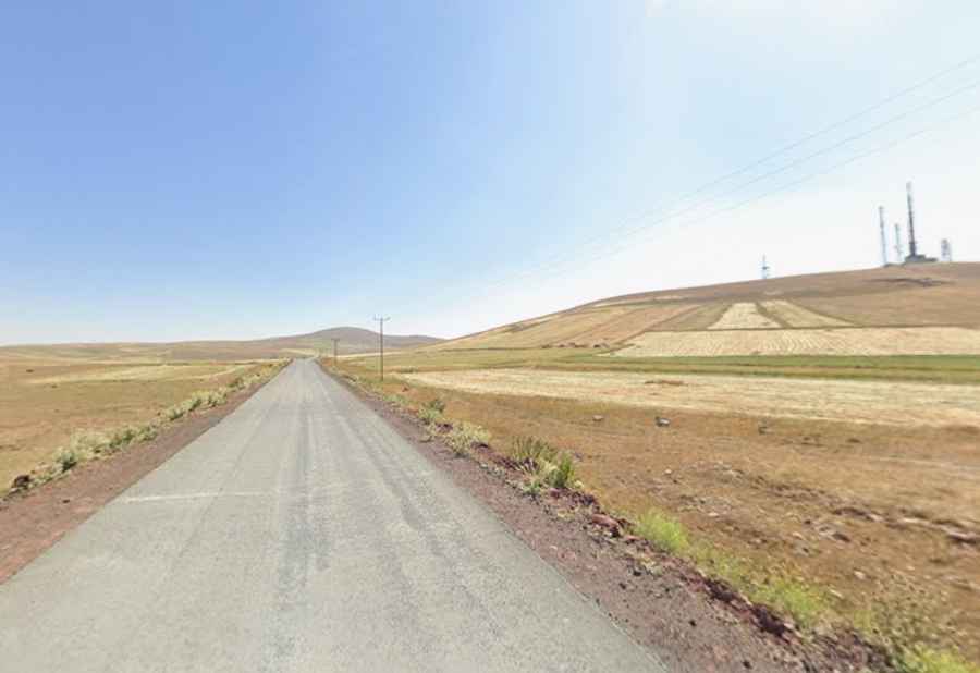
The road was originally carved out in 1978 to serve the TV-FM transmitter station that still stands at the summit.
Is the road to Tap Tepe paved?
The road to the summit is 2.8-kilometer long starting from the paved Hanlar Geçidi, but don't expect a smooth ride. The first 1.7 kilometers leading to the town of Borluk are paved, partly broken, often narrowing due to the encroaching dirt. Beyond the settlement, the final 1.1-kilometer to the transmitter station is entirely unpaved, with hard-packed soil and loose gravel. The road is narrow and lacks any form of protection.
How long is the road to Tap Tepe?
Starting from Borluk, the track gains 105 meters in just 1.1 kilometers, with an average gradient of 9.54%.
Is the road to Tap Tepe open in winter?
The road is completely open to the fierce winds of the Kars plateau. During the winter months, the track is usually buried under snow and is impassable for anything other than heavy specialized machinery. Even in the summer, you should watch out for deep ruts carved by service vehicles heading to the transmitter.