Is the 4x4 road to Dikenli Dağı in Erzurum Province difficult?
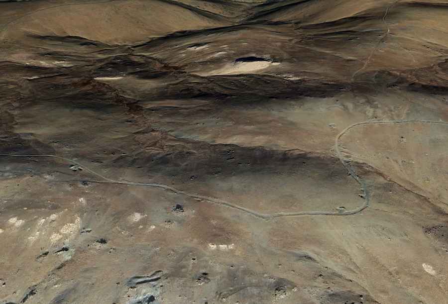
Dikenli Dağı is a high mountain peak at an elevation of 2,794 meters (9,166 ft) above sea level in Erzurum Province, Eastern Anatolia Region, Turkey. Situated to the east of Tahir Gediği, the peak is accessed via a remote, unpaved 4x4 mountain track starting near the village of Çamlıca.
| Road facts: Dikenli Dağı | |
|---|---|
| Location | Çamlıca, Erzurum Province, Eastern Anatolia (Turkey) |
| Elevation | 2,794 m (9,166 ft) |
| Length | 12.0 km (7.45 miles) from Çamlıca |
| Surface | Unpaved (Large loose rocks, dirt, and deep gullies) |
| Vehicle Required | High-clearance 4x4 with low range |
Where is the road to Dikenli Dağı located?
The climb begins near the village of Çamlıca, in Erzurum Province. The 12.0-kilometer route gains elevation continuously along the unpaved mountain slopes to reach the 2,794-meter summit.
What are the driving conditions on the track to Dikenli Dağı?
The 12.0-kilometer trail is entirely unpaved, consisting of sharp mountain stones, loose soil, and deep wash-out gullies. High ground clearance and a low-range 4x4 are required to clear rocky steps, prevent differential bottoming, and maintain traction on narrow, steep sections with soft edges.
What hazards exist on Dikenli Dağı?
The single-lane mountain path lacks safety barriers and mobile coverage. Sharp rocks present tire sidewall cut risks, while long steep slopes require engine braking on the 12.0-kilometer descent to prevent brake overheating. Sudden summer storms turn dry dirt sections into slick mud.
Is the road to Dikenli Dağı open in winter?
No. At an elevation of 2,794 meters, heavy snow and ice block the track throughout the winter and spring, making the route impassable from late autumn through May.