Ziyarettepe Pass: Driving the Paved D.300 Highway in Turkey
Ziyarettepe Pass, known locally as Ziyarettepe Geçidi, is a high mountain pass at an elevation of 1,887 meters (6,190 ft) above sea level, located right on the provincial border between Kayseri and Sivas in Central Anatolia, Turkey. Traversed by the paved State Road D.300, this high-altitude highway segment forces drivers to face extreme winter blizzards, sudden black ice sheets, and heavy frozen mountain winds.
| Road facts: Ziyarettepe Pass | |
|---|---|
| Location | Kayseri / Sivas Province Border, Central Anatolia, Turkey |
| Elevation | 1,887 m (6,190 ft) |
| Route | State Road D.300 |
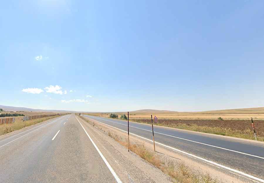
| Length | 26.4 km (16.4 miles) between Olukkaya and Yazyurdu |
| Surface | Paved asphalt (four-lane highway) |
How is the asphalt layout on the D.300 over Ziyarettepe Pass?
The mountain section stretches for 26.4 kilometers, linking the towns of Olukkaya and Yazyurdu on the main route between Kayseri and Malatya. The entire highway is paved with tarmac and configured with a wide four-lane divided layout. While the climbing gradients are engineering-graded and lack sharp dirt hairpins, the physical environment causes heavy asphalt deterioration. The extreme temperature swings of the Anatolian plateau expand and contract the surface, leaving the high-speed lanes full of sudden deep ruts, cracked frost heaves, and rough patches that can compromise tire grip on blind curves.
Why do winter blizzards block the wide lanes of Ziyarettepe Pass?
From November until late March, the geographic position of the pass exposes the four asphalt lanes to severe winter storms. Heavy mountain blizzards dump thick snow drifts across the open slopes, reducing driving visibility to absolute zero in seconds. The high winds sweep across the mountain gaps, freezing the melted snow water into thick, invisible sheets of black ice that coat the tarmac. When these freezing conditions hit, local authorities shut down the main highway gates, forcing transport trucks to park on the lower road shoulders until heavy government snowplows clear the driving line.