Ziyeret Pass: Driving the 101km High-Altitude Road on D.300
Reaching a peak elevation of 1,933m (6,341ft), Ziyeret Pass (Ziyeret Geçidi) is the primary high-altitude crossing on the D.300 State Road in Central Anatolia. Situated south of Ziyarettepe, it serves as the geographical apex for long-distance transit between the provincial seats of Kayseri and Sivas.
| Road facts: Ziyeret Pass | |
|---|---|
| Location | Kayseri / Sivas border, Turkey |
| Elevation | 1,933 m (6,341 ft) |
| Distance | 101 km (62.7 miles) |
| Infrastructure | High-Capacity Highway |
Driving the 101km sector to Ziyeret Pass
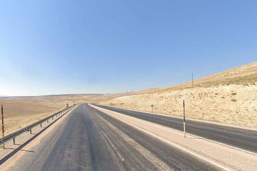
The total sector influence of the Ziyeret Pass stretches over 101 km (62.7 miles), running from Pınarbaşı to Gürün. This is a high-capacity, paved four-lane highway (D.300) that maintains a high elevation for extended periods. The logistics of this route are challenging due to its isolation; amenities such as fuel stations and restaurants are extremely limited between the main district seats. Vehicle maintenance and fuel planning are mandatory before entering this 101 km stretch.
Mechanical hazards and high-altitude transit
At 1,933 meters, the Ziyeret Pass is the most exposed point of the D.300 in this region. The primary hazards are sudden black ice and high-velocity winds that can destabilize high-sided vehicles. During the winter season, the pass experiences sub-zero temperatures that solidify any moisture on the pavement instantly. While the road stays open for most of the year, the November-March window is characterized by heavy snowfall that requires the use of winter tires and, in extreme cases, tire chains for heavy-duty transport vehicles.