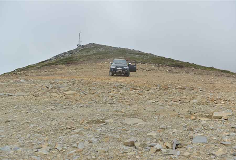
Driving the steep mountain track to Aktas Tepe in Marmara
Aktaş Tepe (formerly known as Kıran Hill) is a mountain peak at an elevation of 2,227 meters (7,306 ft) above sea level in the Bursa Province, Marmara Region, Turkey. Located in the Uludağ mountain range, the summit is reached via a steep, unpaved mountain track starting near the village of Kıran.
| Road facts: Aktaş Tepe | |
|---|---|
| Location | Kıran, Bursa Province, Marmara (Turkey) |
| Elevation | 2,227 m (7,306 ft) |
| Length | 11.1 km (6.9 miles) from Kıran village |
| Elevation Gain | 1,133 m (3,717 ft) |
| Average Gradient | 10.20% |
| Surface | Unpaved (Loose stones, dirt, and rock ledges) |
| Vehicle Required | High-clearance 4x4 with low range |
Where is the road to Aktaş Tepe located?
The climb starts near the village of Kıran, in the southern district of Bursa. The 11.1-kilometer route ascends 1,133 vertical meters along the slopes of Uludağ to reach the 2,227-meter peak.
What are the driving conditions to Aktaş Tepe?
The 11.1-kilometer trail is entirely unpaved, featuring an average gradient of 10.20%. The rough surface consists of loose scree, deep ruts, and exposed rocks. A high-clearance 4x4 with low range is required to clear boulders and prevent tire spin on steep incline ramps.
What hazards exist on the track to Aktaş Tepe?
Dense forest sectors are frequently blocked by fallen trees after winter storms. Deep mud covers the lower elevation tracks in spring, while loose rock near the summit reduces traction. The narrow path lacks crash barriers and requires engine braking on the 11.1-kilometer descent to prevent brake overheating.
Is the road to Aktaş Tepe open in winter?
No. At an elevation of 2,227 meters, heavy snowfall and ice block the track throughout the winter and early spring, making the route impassable from November through May.