Driving to Elma Dagi: Abandoned NATO Antennas and Cold War Relics
Elma Dağı (Mount Elma) is a high mountain peak at an elevation of 1,857m (6,092ft) above sea level, located in the Ankara Province of Turkey.
Why is Elma Dağı (Mount Elma) famous?
The summit hosts a NATO radio station, abandoned in the 1970s and used during the Cold War. The antennas belong to the former NATO troposcatter communications network known as ACE High (Allied Command Europe Highband).
When was the road to Elma Dağı (Mount Elma) built?
Situated in the central Anatolia region, to the south of Ankara, the road to the summit was constructed in 1964/1965 to facilitate the building of the NATO radio station.
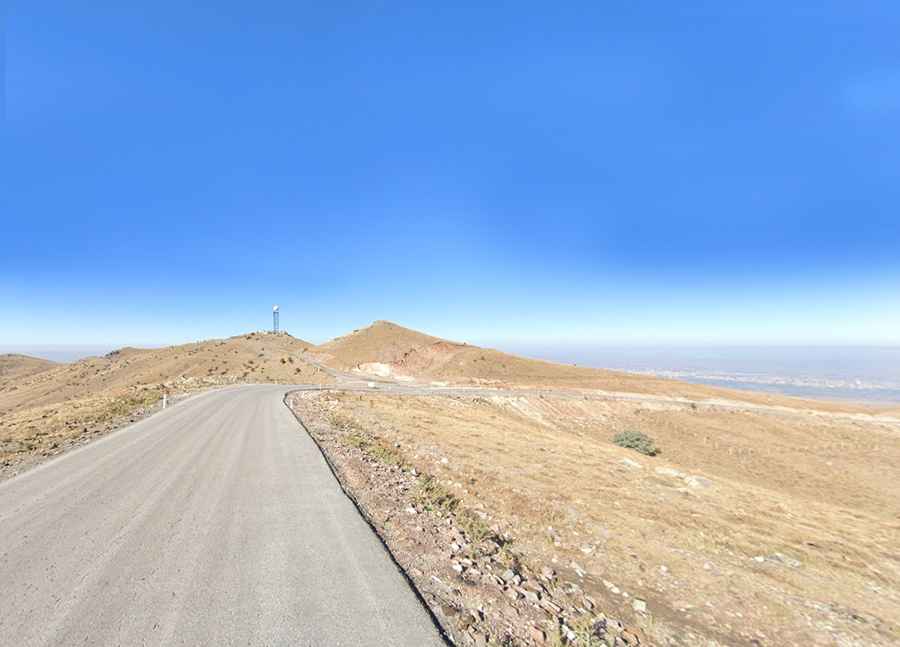
Is the road to Elma Dağı (Mount Elma) paved?
The road to the summit is entirely paved and in very good condition.
How long is the road to Elma Dağı (Mount Elma)?
Starting from Kömürcü, the road to the summit is 8.5 km (5.28 miles) long. The drive is steep, with an elevation gain of 542 m and an average gradient of 6.37%.