The road through Nebirnav Yaylasi will take your breath away
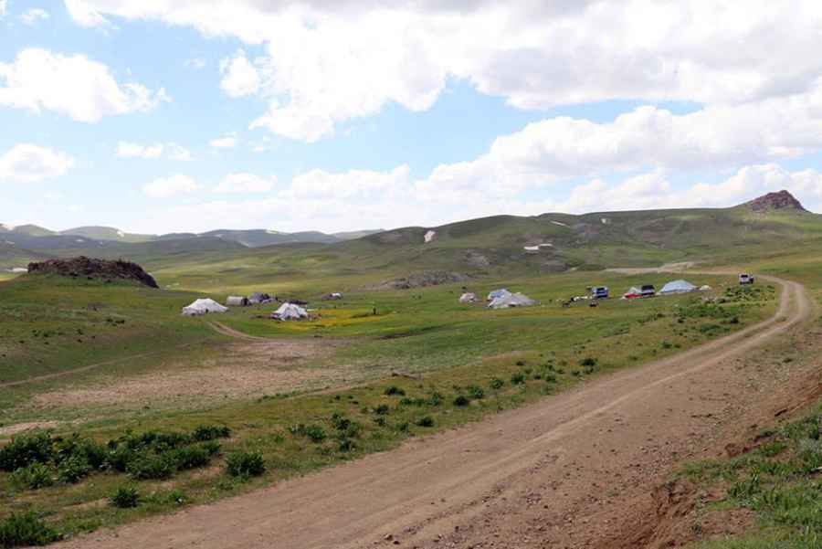
Nebırnav Yaylası is a high mountain plateau at an elevation of 3,078m (10,098ft) above sea level, located on the boundary between the provinces of Hakkâri and Van, in the Eastern Anatolia region of Turkey. At this elevation, it’s one of the highest roads in the country.
Where is Nebirnav Yaylasi?
Situated high in the southeastern part of the country, the plateau is located about 60 km north of the city of Hakkâri.
Is the road through Nebirnav Yaylasi unpaved?
The road through the plateau is entirely unpaved and is called Gürpınar Yolu. It is not recommended for low-clearance vehicles. In dry weather, it’s navigable by most passenger vehicles.
Is the road through Nebirnav Yaylasi open in winters?
In winters, it is usually impassable due to snow.
How long is the road through Nebirnav Yaylasi?
The road through the plateau is 24.7 km (15.34 miles) long, running east-west from Ördekli to Aksu. It is an area of large meadows and clean water used mainly by locals for livestock production, especially when the weather permits, mainly in the summer.
Road suggested by: jorge manuel gómez sánchez
Pic&more information: https://www.hakkaritanitim.com/city/photo/1101/nebirnav-zozana-nebirnave