Gök Dağ: Driving one of the highest roads in Turkey
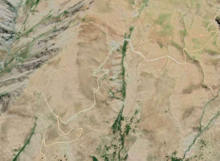
Gök Dağ is a high mountain peak at an elevation of 3,417m (11,210ft) above sea level, located in eastern Turkey. Perched on the boundary between the provinces of Hakkari and Van, the road to the summit is one of the highest roads of Turkey. This is a primitive military-style track that scales the rugged peaks of the Armenian Highlands, very close to the border with Iran.
| Road facts: Gök Dağ | |
|---|---|
| Location | Hakkari / Van border, Turkey |
| Elevation | 3,417 m (11,210 ft) |
| Length | 9 km (from Kaymaklı) |
| Avg Gradient | 12.97% |
Where is Gök Dağ located?
The summit of Gök Dağ is situated in a high-security mountain zone in southeastern Turkey. The road starts near the village of Kaymaklı and climbs deep into the desolate ridges of the Taurus Mountains. Due to its strategic position on the border between Hakkari and Van, the track is primarily used for border surveillance and military logistics. There are no civilian services, water sources, or shelters along the entire climb.
Is the road to Gök Dağ suitable for standard cars?
No. The road to the summit is entirely unpaved and consists of loose shale, sharp rocks, and fine mountain dust. A high-clearance 4x4 vehicle with low-range gearing is mandatory. Standard cars or even soft-roaders will likely suffer underbody damage or lose traction on the loose surface. The track is narrow, with no safety barriers, and features several "V-shaped" switchbacks where the turning radius is extremely limited, often requiring a multi-point turn for longer vehicles.
How steep is the climb to Gök Dağ?
The ascent is technically one of the most punishing in the region. Starting from Kaymaklı, the road climbs 1,168 meters in just 9 kilometers. This results in a brutal average gradient of 12.97%, with sustained ramps that exceed 15%. At over 3,000 meters, engines lose significant power due to the thin air, which, combined with the extreme incline, forces the vehicle to stay in first or second gear for the entire journey. Constant monitoring of the engine temperature is essential to avoid overheating at low speeds.
When is the road to Gök Dağ open?
Accessibility is strictly dictated by the heavy snowfall of eastern Anatolia. The road is typically impassable from late October until late June or early July. Even in mid-summer, patches of hard-packed snow can remain in the shaded northern gullies. High-altitude winds and sudden thunderstorms can wash out sections of the track, creating deep ruts that make the path dangerous for anyone without recovery gear. It is a high-isolation route where mechanical self-sufficiency is a matter of survival.
What are the hazards of driving at 3,400 meters in Turkey?
The primary hazards are the lack of oxygen for the motor and the unstable nature of the mountain slopes. Rockfall is a constant threat, and the track can be blocked by boulders after a storm. The final stretch to the peak follows a narrow ridge where the drop-offs on both sides are hundreds of meters deep. On the descent, the heavy reliance on engine braking is the only way to manage speed on the loose gravel ramps, as the extreme gradient will quickly overheat any braking system.