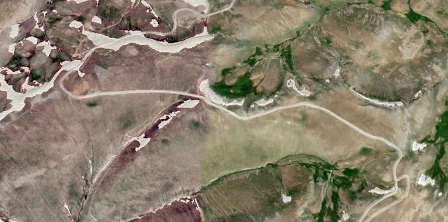
How to drive the unpaved road to Kara Dağ in Hakkâri
Kara Dağ is a high mountain peak at an elevation of 3,308m (10,853ft) above sea level, located in the Hakkâri province of Turkey. It is one of the highest roads in Turkey.
| Road facts: Kara Dağ (Hakkâri) | |
|---|---|
| Location | Hakkâri Province, Turkey |
| Elevation | 3,308 m (10,853 ft) |
| Length | 26.6 km (16.52 miles) |
| Max Gradient | 12% |
| Surface | Unpaved / Primitive Track |
Where is Kara Dağ?
The peak is located in the southeastern part of the country, near the border areas.
How long is the road to Kara Dağ?
Starting from Çepkenli, the road to the summit is 26.6 km (16.52 miles) long. Over this distance, the average gradient is 4.17%, hitting a 12% of maximum gradient through some of the ramps.
Is the road to Kara Dağ unpaved?
The road is totally unpaved, with loose shale, compacted dirt, and large rocks. A high-clearance 4x4 vehicle is required.
Is the road to Kara Dağ open during the winter months?
Due to its 3,308m elevation, the road to Kara Dağ is typically impassable from late October through late June or early July. The high-altitude plateau of Hakkâri receives some of the heaviest snowfalls in Turkey, and the road is not cleared of snow by local authorities.
Can I drive to Kara Dağ?
The drive to Kara Dağ is situated in an extremely isolated sector where GPS signals are frequently unreliable due to terrain interference and the proximity to international borders. Given the sensitive geopolitical location of the peak, drivers should be prepared for potential military checkpoints and must carry all necessary identification and permits, as the road runs through a restricted access zone in southeastern Turkey.