Is the 4x4 road to Yalın Dağ in Van difficult to drive?
Yalın Dağ is a high mountain pass at an elevation of 2,950m (9,678ft) above sea level, located in the Van province of eastern Turkey. It is one of the highest motorable roads in the country, offering a raw driving experience near the Iranian border. It’s one of the highest roads of the country.
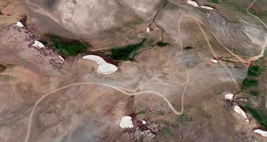
Set in a remote and desolate landscape, the road to the summit is entirely unpaved. Due to the loose surface and the altitude, a 4x4 vehicle is mandatory to reach the top. This is a high-alpine environment where the weather rules the road; the track is usually buried under snow and remains impassable from late October until late June or even early July, depending on how fast the snow melts each year.
| Road facts: Yalın Dağ | |
|---|---|
| Location | Van Province, Eastern Anatolia (Turkey) |
| Elevation | 2,950m (9,678ft) |
| Length | 11 km (6.83 miles) |
| Vehicle Required | 4x4 High Clearance |
| Surface | Gravel / Unpaved |
How difficult is the road to Yalın Dağ?
Driving to the summit is a challenge because of the steepness of the terrain and the high altitude. The ascent starts at the settlement of Yalınca, and from there, you face an 11-kilometer (6.83 miles) climb. During this stretch, the road gains 573 meters in elevation. While the average gradient is 5.20%, there are much steeper sections that will test your vehicle's traction and cooling system. It is a slow, bumpy drive through a barren mountain range where you won't find any services or help, so you must be fully prepared before starting the climb.
Pic: Yalın Dağ Road