How to drive the unpaved road to Weissfluhjoch?
Weissfluhjoch is a high mountain peak at an elevation of 2.666m (8,746ft) above sea level, located the canton of Graubünden, in Switzerland.
Where is Weissfluhjoch?
The peak, also known as Weissfluh, is located in the eastern part of the country.
Is the road to Weissfluhjoch unpaved?
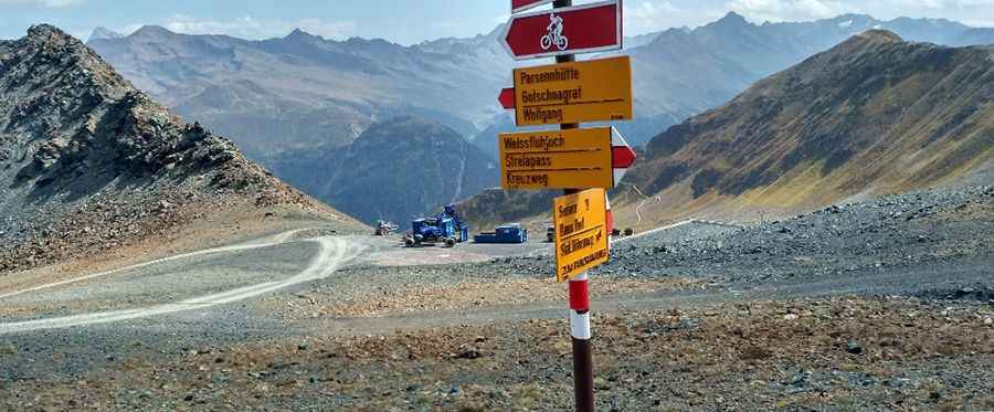
The road to the summit is totally unpaved. It’s a chairlift access trail, with extremely steep parts, 15 hairpin turns and narrow sections. A 4x4 vehicle is required, though it’s closed to private vehicles.
How long is the road to Weissfluhjoch?
Starting from Davos, the road to the summit is 6 km long. Over this distance, the elevation gain is 875 m and the average gradient is 14.58%. It offers breathtaking views of the mountains around Davos.
Is the road to Weissfluhjoch open in winters??
Set high in the Plessur Alps, the road is totally impassable in winters due to the heavy snowfalls in the area. A specially modified vehicle might be able to reach the radar dome at the real summit, at 2,835m (9,301ft) above sea level.
Pic: אלי לינקר